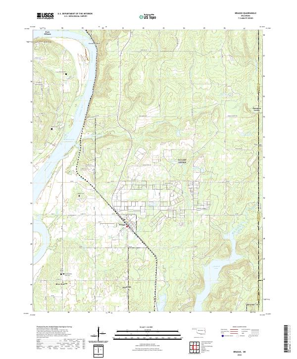
2022 Map of Braggs
USGS Topo · Published 2022About this map
The Arkansas River corridor dominates this eastern Oklahoma landscape, defining the transition between the waterway and the rising hills of the Cherokee Nation. The Webbers Falls Reservoir fills the river valley, curving around Gooseneck Bend and providing the backdrop for small riverside communities like River Bottom. Further inland, the town of Braggs serves as a local hub, surrounded by a network of family and community cemeteries such as Walker Cem, Harnage Cem, and Harris Cem that anchor the area's genealogical history.
Find a feature on this map
108 named features on this map. Tap any name to fly to it.
Don’t see what you’re looking for? This feature index may not catch every label — zoom into the map to look around manually.
Map Details
Editions of this 2022 Braggs Map
This is the sole edition of this map. No revisions or reprints were ever made.
Other maps of this area

1901 · Muscogee
USGS Topo · 1:125,000

1905 · Muscogee
USGS Topo · 1:125,000

1946 · Fort Smith
USGS Topo · 1:250,000

1948 · Hulbert
USGS Topo · 1:62,500

1948 · Keefeton
USGS Topo · 1:62,500

1948 · Webbers Falls
USGS Topo · 1:62,500

1948 · Wagoner
USGS Topo · 1:62,500

1950 · Keefeton
USGS Topo · 1:62,500

1950 · Wagoner
USGS Topo · 1:62,500

1950 · Hulbert
USGS Topo · 1:62,500