
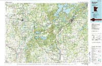
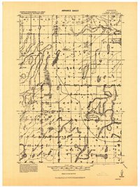
1986 Map of Brainerd
USGS Topo · Published 1986About this map
The Mississippi River and Crow Wing River converge in this central Minnesota region, defining a landscape of glacial lakes and extensive public lands as they appeared in the mid-1980s. The city of Brainerd serves as the regional hub, situated near the Brainerd State Hospital and the sprawling Camp Ripley Military Reservation. To the west, the Burlington Northern railroad corridor anchors a string of prairie settlements including Staples, Motley, and Verndale.
Find a feature on this map
136 named features on this map. Tap any name to fly to it.
Don’t see what you’re looking for? This feature index may not catch every label — zoom into the map to look around manually.
Map Details
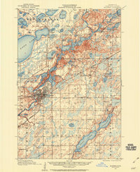
Editions of this 1986 Brainerd Map
2 editions found
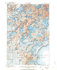
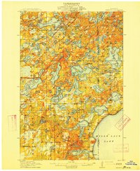
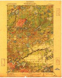
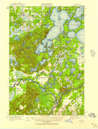
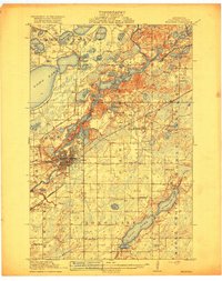
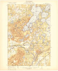
Other maps of this area
1912 · Deerwood
USGS Topo · 1:62,500

1913 · Cuyuna
USGS Topo · 1:62,500
1914 · Deerwood
USGS Topo · 1:62,500
1915 · Cuyuna
USGS Topo · 1:62,500
1915 · Brainerd
USGS Topo · 1:62,500
1916 · Pillager
USGS Topo · 1:62,500
1918 · Brainerd
USGS Topo · 1:62,500
1919 · Pillager
USGS Topo · 1:62,500
1919 · Leader
USGS Topo · 1:62,500
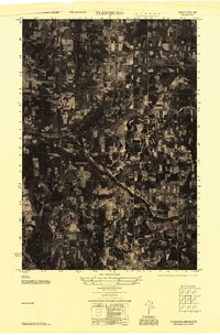
1947 · Flensburg
USGS Topo · 1:25,000