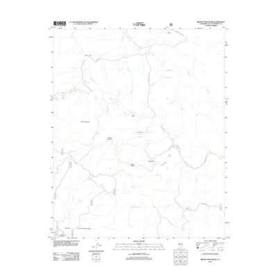
2012 Map of Branch Mountain
USGS Topo · Published 2012About this map
Branch Mountain rises as a central landmark in this portion of the California Coast Ranges, anchoring a landscape defined by intermittent water sources and established cattle ranching operations. The terrain is marked by a network of seasonal drainages, including San Juan Cr, Rogers Cr, and Barrett Cr, which flow through the canyons between Long Ridge and Pilitas Mountain. This area illustrates the critical importance of localized water points for land use, evidenced by the numerous named springs such as Thompson Spring, Jack Spring, and Live Oak Spring.
Find a feature on this map
35 named features on this map. Tap any name to fly to it.
Don’t see what you’re looking for? This feature index may not catch every label — zoom into the map to look around manually.
Map Details
Editions of this 2012 Branch Mountain Map
This is the sole edition of this map. No revisions or reprints were ever made.
Other maps of this area

1912 · McKittrick
USGS Topo · 1:125,000

1932 · La Panza
USGS Topo · 1:48,000

1935 · La Panza
USGS Topo · 1:62,500

1936 · La Panza
USGS Topo · 1:62,500

1937 · Branch Mtn
USGS Topo · 1:48,000

1941 · Caliente Mountain
USGS Topo · 1:62,500

1942 · Branch Mountain
USGS Topo · 1:62,500

1942 · Caliente Mtn
USGS Topo · 1:62,500

1943 · Simmler
USGS Topo · 1:62,500

1943 · Caliente Mtn.
USGS Topo · 1:62,500