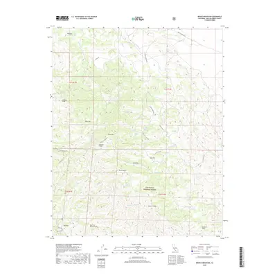
2018 Map of Branch Mountain
USGS Topo · Published 2018About this map
Los Padres National Forest spans this portion of the La Panza Range, where the landscape is defined by a dense network of seasonal creek beds and numerous named springs. High points like Pilitas Mtn and Branch Mtn overlook deep drainages including Thirtyfive Canyon and Buckhorn Canyon. The terrain is marked by notable geological features such as the Big Rocks in the southwest and the expansive Tajea Flat. Water sources, critical in this arid environment, are meticulously documented with labels for Sulphur Spring, Jack Spring, and Dutchman Spring. Remote access is provided by a network of specialized routes like Branch Mountain Rd and Taylor Well Rd, reflecting the area's history of forest management and backcountry exploration.
Find a feature on this map
43 named features on this map. Tap any name to fly to it.
Don’t see what you’re looking for? This feature index may not catch every label — zoom into the map to look around manually.
Map Details
Editions of this 2018 Branch Mountain Map
This is the sole edition of this map. No revisions or reprints were ever made.
Other maps of this area

1912 · McKittrick
USGS Topo · 1:125,000

1932 · La Panza
USGS Topo · 1:48,000

1935 · La Panza
USGS Topo · 1:62,500

1936 · La Panza
USGS Topo · 1:62,500

1937 · Branch Mtn
USGS Topo · 1:48,000

1941 · Caliente Mountain
USGS Topo · 1:62,500

1942 · Branch Mountain
USGS Topo · 1:62,500

1942 · Caliente Mtn
USGS Topo · 1:62,500

1943 · Simmler
USGS Topo · 1:62,500

1943 · Caliente Mtn.
USGS Topo · 1:62,500