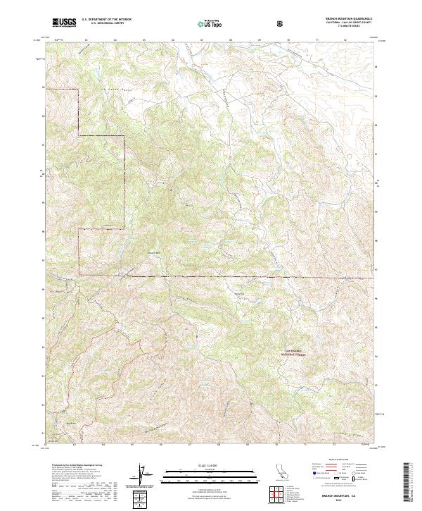
2021 Map of Branch Mountain
USGS Topo · Published 2021About this map
Los Padres National Forest contains this high-elevation landscape in eastern San Luis Obispo County, where the La Panza Range meets the Los Machos Hills. This 2021 survey documents an intricate network of ridgelines and canyons, most notably Brown Canyon and Thirtyfive Canyon, which drain into seasonal watercourses like San Juan Cr. The presence of numerous named water sources, such as Sulphur Spring, Jack Spring, and Dutchman Spring, indicates the importance of these points for both wildlife and livestock in an otherwise arid terrain. Remote access is defined by specialized routes like the Aveneles Branch Mountain Rd and the Jack Springs Trl, which connect high points like Branch Mtn and Pilitas Mtn to the plateau of Tajea Flat.
Find a feature on this map
45 named features on this map. Tap any name to fly to it.
Don’t see what you’re looking for? This feature index may not catch every label — zoom into the map to look around manually.
Map Details
Editions of this 2021 Branch Mountain Map
This is the sole edition of this map. No revisions or reprints were ever made.
Other maps of this area

1912 · McKittrick
USGS Topo · 1:125,000

1932 · La Panza
USGS Topo · 1:48,000

1935 · La Panza
USGS Topo · 1:62,500

1936 · La Panza
USGS Topo · 1:62,500

1937 · Branch Mtn
USGS Topo · 1:48,000

1941 · Caliente Mountain
USGS Topo · 1:62,500

1942 · Branch Mountain
USGS Topo · 1:62,500

1942 · Caliente Mtn
USGS Topo · 1:62,500

1943 · Simmler
USGS Topo · 1:62,500

1943 · Caliente Mtn.
USGS Topo · 1:62,500