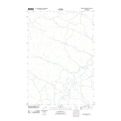
2011 Map of Brandenberg NW
USGS Topo · Published 2011About this map
The Tongue River meanders through the heart of this Rosebud County landscape, defining the local geography as it flows past the mouth of Cottonwood Creek. The drainage patterns of the High Plains are clearly visible here, with multiple tributaries including Ranch Creek and Coal Creek carving through the terrain. These watercourses have long dictated the movement of people and livestock in this portion of Montana, providing essential water sources in an arid environment.
Find a feature on this map
11 named features on this map. Tap any name to fly to it.
Don’t see what you’re looking for? This feature index may not catch every label — zoom into the map to look around manually.
Map Details
Editions of this 2011 Brandenberg NW Map
This is the sole edition of this map. No revisions or reprints were ever made.
Other maps of this area

1954 · Hardin
USGS Topo · 1:250,000

1954 · Forsyth
USGS Topo · 1:250,000

1957 · Hardin
USGS Topo · 1:250,000

1957 · Forsyth
USGS Topo · 1:250,000

1958 · Forsyth
USGS Topo · 1:250,000

1958 · Hardin
USGS Topo · 1:250,000
1969 · Miller Creek
USGS Topo · 1:24,000
1969 · Miller Creek SW
USGS Topo · 1:24,000
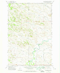
1971 · Brandenberg NW
USGS Topo · 1:24,000

1971 · Hammond Draw
USGS Topo · 1:24,000