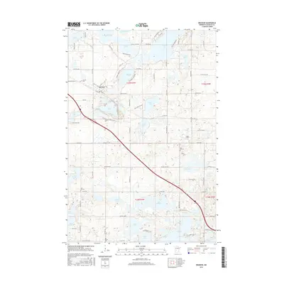
2016 Map of Brandon
USGS Topo · Published 2016About this map
The village of Brandon serves as the focal point of this glaciated landscape in Douglas County, where a dense network of lakes and wetlands dictates the local geography. Significant water bodies like Chippewa Lake, Whiskey Lake, and Lobster Lake dominate the terrain, creating a complex patchwork of shoreline and drainage areas such as Redick Swamp. The map reveals a deeply rooted rural community, evidenced by numerous burial grounds including Brandon Cem, Chippewa Cem, and the East and West Moe Cem locations. Transportation is anchored by the corridor running through the town center, connecting local routes like Front St E and 3rd St W to the surrounding township. This detailed survey captures the residential and agricultural balance of the area, featuring named landmarks like Angen Field and the residential cluster at Moon Lake Heights.
Find a feature on this map
90 named features on this map. Tap any name to fly to it.
Don’t see what you’re looking for? This feature index may not catch every label — zoom into the map to look around manually.
Map Details
Editions of this 2016 Brandon Map
This is the sole edition of this map. No revisions or reprints were ever made.
Other maps of this area

1953 · Brainerd
USGS Topo · 1:250,000

1953 · Saint Cloud
USGS Topo · 1:250,000

1957 · Brainerd
USGS Topo · 1:250,000

1957 · Saint Cloud
USGS Topo · 1:250,000

1958 · Saint Cloud
USGS Topo · 1:250,000

1958 · Brainerd
USGS Topo · 1:250,000

1965 · Brainerd
USGS Topo · 1:250,000

1966 · Brandon
USGS Topo · 1:24,000

1966 · Alexandria West
USGS Topo · 1:24,000

1966 · Farwell
USGS Topo · 1:24,000