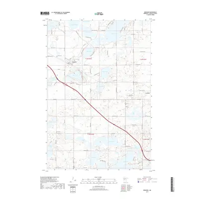
2019 Map of Brandon
USGS Topo · Published 2019About this map
Brandon serves as the primary hub of this Douglas County landscape, where the local street grid including Front St E and 3rd St W transitions into a dense network of glacial lakes and wetlands. The area is defined by its irregular hydrology, ranging from the large expanses of Chippewa Lake and Lobster Lake to smaller named basins like Whiskey Lake and Devils Lake. For genealogists and local historians, the placement of rural burial grounds such as Brandon Cem, Chippewa Cem, and West Moe Cem offers vital spatial context for early family settlements. The landscape is carved by a modern road system following section lines and lake contours, with Angen Field and various swampy basins like Redick Swamp punctuating the mix of agricultural plots and shoreline residential developments near Garfield.
Find a feature on this map
94 named features on this map. Tap any name to fly to it.
Don’t see what you’re looking for? This feature index may not catch every label — zoom into the map to look around manually.
Map Details
Editions of this 2019 Brandon Map
This is the sole edition of this map. No revisions or reprints were ever made.
Other maps of this area

1953 · Brainerd
USGS Topo · 1:250,000

1953 · Saint Cloud
USGS Topo · 1:250,000

1957 · Brainerd
USGS Topo · 1:250,000

1957 · Saint Cloud
USGS Topo · 1:250,000

1958 · Saint Cloud
USGS Topo · 1:250,000

1958 · Brainerd
USGS Topo · 1:250,000

1965 · Brainerd
USGS Topo · 1:250,000

1966 · Brandon
USGS Topo · 1:24,000

1966 · Alexandria West
USGS Topo · 1:24,000

1966 · Farwell
USGS Topo · 1:24,000