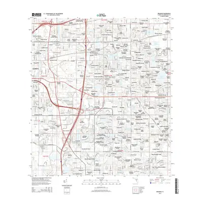
2015 Map of Brandon
USGS Topo · Published 2015About this map
Sixmile Creek and the Alafia River define the drainage of this suburbanizing landscape east of Tampa, captured during a period of rapid residential expansion. The map detail reflects a dense network of neighborhoods with names such as Buffalo Avenue Farms, Eureka Homes, and Raven Oaks, which replaced the agricultural tracts that once dominated Hillsborough County. Significant water bodies like Mango Lake, Lake Weeks, and Gornto Lake are integrated into the neighborhood layouts, while the CSX railroad and the Selmon Expy provide the primary transit corridors through the area.
Find a feature on this map
243 named features on this map. Tap any name to fly to it.
Don’t see what you’re looking for? This feature index may not catch every label — zoom into the map to look around manually.
Map Details
Editions of this 2015 Brandon Map
This is the sole edition of this map. No revisions or reprints were ever made.
Other maps of this area

1921 · Tampa
USGS Topo · 1:62,500

1943 · Thonotosassa
USGS Topo · 1:24,000

1944 · Sulphur Springs
USGS Topo · 1:31,680

1944 · Mango
USGS Topo · 1:31,680

1944 · Tampa
USGS Topo · 1:31,680

1944 · Thonotosassa
USGS Topo · 1:31,680

1944 · Antioch
USGS Topo · 1:31,680

1944 · Balm
USGS Topo · 1:31,680

1945 · Gadsden Point
USGS Topo · 1:31,680

1945 · Sulphur Springs
USGS Topo · 1:31,680