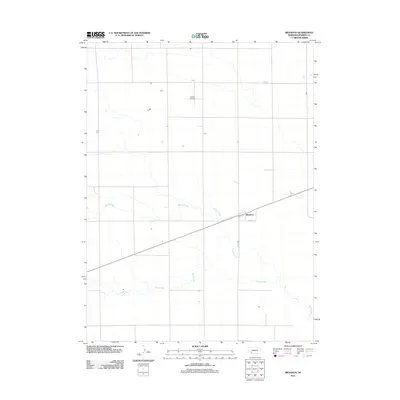
2011 Map of Brandon
USGS Topo · Published 2011About this map
Brandon anchors this Perkins County landscape, situated along a primary east-west transportation corridor that defines the local transit pattern. The terrain is shaped by the subtle drainage of Spring Creek and Sand Creek, which meander through the agricultural grid of western Nebraska. Infrastructure is concentrated near the settlement, including Burke St and Roper Ave, while the Kumor Airport serves as a notable regional landmark to the north. This survey illustrates the sparse, orderly layout of the High Plains, where human settlement and local aviation are closely tied to the linear paths of roads and watercourses.
Find a feature on this map
6 named features on this map. Tap any name to fly to it.
Don’t see what you’re looking for? This feature index may not catch every label — zoom into the map to look around manually.
Map Details
Editions of this 2011 Brandon Map
This is the sole edition of this map. No revisions or reprints were ever made.
Other maps of this area

1954 · Sterling
USGS Topo · 1:250,000

1954 · McCook
USGS Topo · 1:250,000

1957 · McCook
USGS Topo · 1:250,000

1958 · McCook
USGS Topo · 1:250,000

1958 · Sterling
USGS Topo · 1:250,000

1961 · Brandon NE
USGS Topo · 1:24,000

1961 · Lamar NE
USGS Topo · 1:24,000

1961 · Brandon NW
USGS Topo · 1:24,000

1961 · Brandon SE
USGS Topo · 1:24,000

1961 · Lamar NW
USGS Topo · 1:24,000