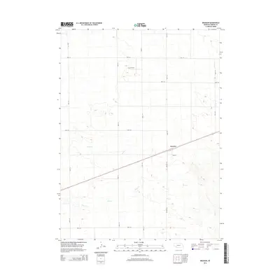
2014 Map of Brandon
USGS Topo · Published 2014About this map
The small community of Brandon serves as the focal point of this high-plains landscape in Perkins County. Located along a primary transit corridor, the settlement is characterized by a compact grid including Burke St and Brandon Rd. The surrounding terrain is defined by the intermittent drainage patterns of Spring Cr and Sand Cr, which meander through the undulating sandhills typical of this region of Nebraska.
Find a feature on this map
15 named features on this map. Tap any name to fly to it.
Don’t see what you’re looking for? This feature index may not catch every label — zoom into the map to look around manually.
Map Details
Editions of this 2014 Brandon Map
This is the sole edition of this map. No revisions or reprints were ever made.
Other maps of this area

1954 · Sterling
USGS Topo · 1:250,000

1954 · McCook
USGS Topo · 1:250,000

1957 · McCook
USGS Topo · 1:250,000

1958 · McCook
USGS Topo · 1:250,000

1958 · Sterling
USGS Topo · 1:250,000

1961 · Brandon NE
USGS Topo · 1:24,000

1961 · Lamar NE
USGS Topo · 1:24,000

1961 · Brandon NW
USGS Topo · 1:24,000

1961 · Brandon SE
USGS Topo · 1:24,000

1961 · Lamar NW
USGS Topo · 1:24,000