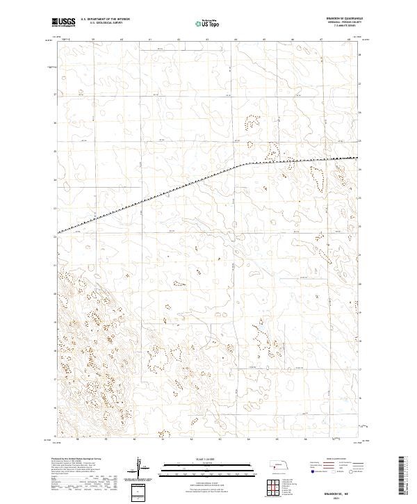
2021 Map of Brandon SE
USGS Topo · Published 2021About this map
Perkins County's high plains landscape is defined by a rigorous grid of section lines and township boundaries in this 2021 study. The terrain is characterized by subtle depressions and depressions indicative of the region's semi-arid geography, intersected by a network of rural roads such as Rd 761 and Rd 760. These routes form the primary infrastructure for the agricultural operations that dominate the area, connecting remote farmsteads across t10n r40w and t10n r39w.
Find a feature on this map
21 named features on this map. Tap any name to fly to it.
Don’t see what you’re looking for? This feature index may not catch every label — zoom into the map to look around manually.
Map Details
Editions of this 2021 Brandon SE Map
This is the sole edition of this map. No revisions or reprints were ever made.
Other maps of this area

1954 · McCook
USGS Topo · 1:250,000

1957 · McCook
USGS Topo · 1:250,000

1958 · McCook
USGS Topo · 1:250,000

1961 · Brandon NE
USGS Topo · 1:24,000

1961 · Lamar NE
USGS Topo · 1:24,000

1961 · Brandon NW
USGS Topo · 1:24,000

1961 · Brandon SE
USGS Topo · 1:24,000

1961 · Lamar NW
USGS Topo · 1:24,000

1961 · Brandon
USGS Topo · 1:24,000
1973 · Grant
USGS Topo · 1:24,000