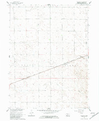
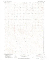
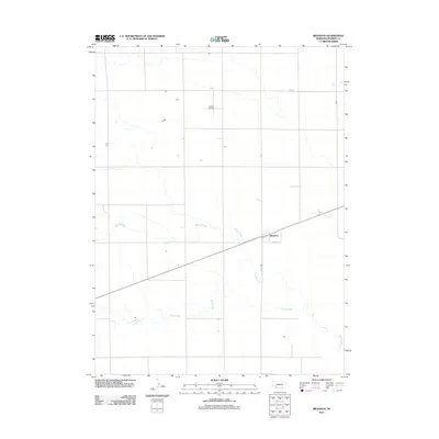
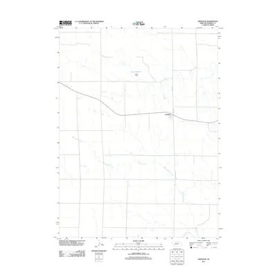
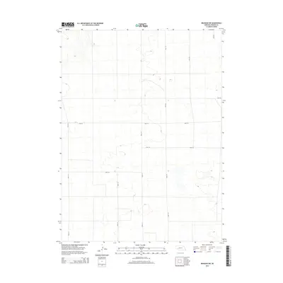
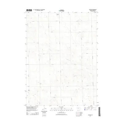
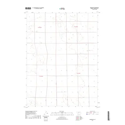
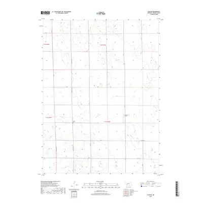
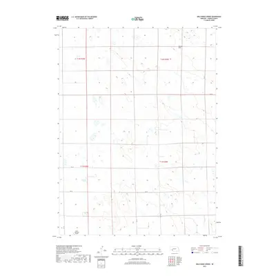
1961 Map of Brandon SE
USGS Topo · Published 1982About this map
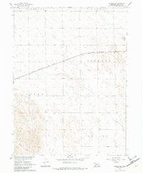
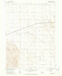
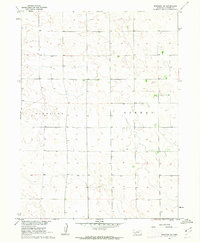
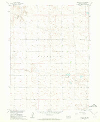
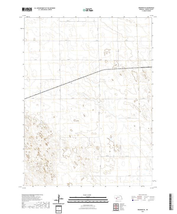
Highland, Liberty, and Lisbon townships define the high plains landscape of Perkins County in this early 1960s survey. The Chicago Burlington and Quincy railroad cuts a straight diagonal across the terrain, serving as the primary corridor for movement through these agricultural sections. This infrastructure supported the local rural economy, where isolated landmarks like School No 50 provided essential community services for farming families.
Find a feature on this map
8 named features on this map. Tap any name to fly to it.
Don’t see what you’re looking for? This feature index may not catch every label — zoom into the map to look around manually.
Map Details
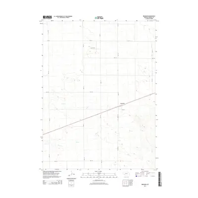
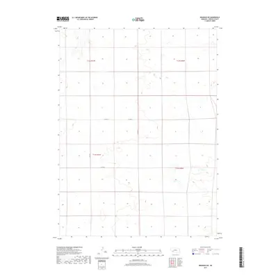
Editions of this 1961 Brandon SE Map
2 editions found
Historical Maps of Perkins County Through Time
45 maps found
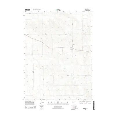
1961 Brandon NE
Perkins County, NE
1961 Brandon NW
Perkins County, NE
1961 Brandon
Perkins County, NE
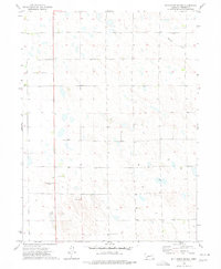
1961 Brandon SE
Perkins County, NE
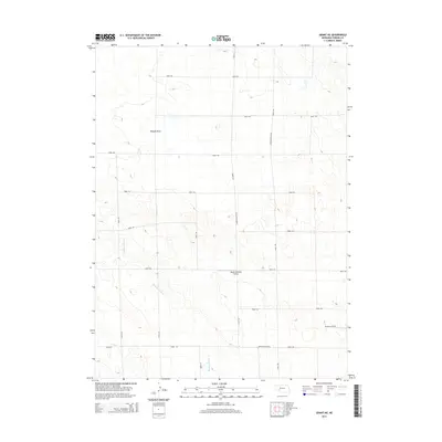
1973 Elsie NE
Perkins County, NE
1973 Elsie NW
Perkins County, NE
1973 Grainton
Perkins County, NE
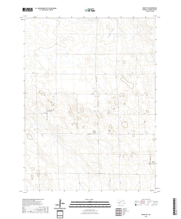
1973 Grant NE
Perkins County, NE
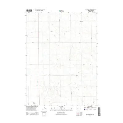
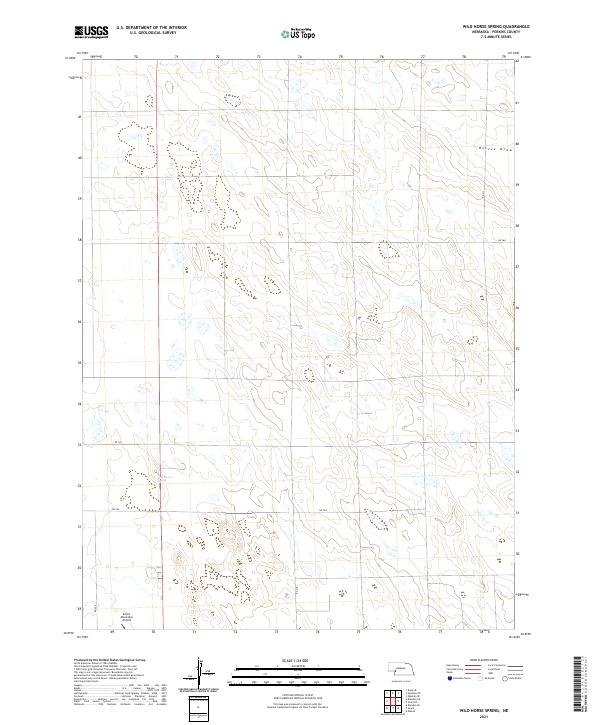
1973 Wild Horse Spring
Perkins County, NE
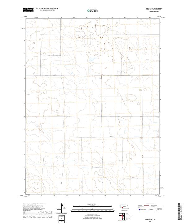
2011 Brandon NE
Perkins County, NE
2011 Brandon NW
Perkins County, NE
2011 Brandon
Perkins County, NE
2011 Brandon SE
Perkins County, NE
2011 Elsie NE
Perkins County, NE
2011 Elsie NW
Perkins County, NE
2011 Grainton
Perkins County, NE
2011 Grant NE
Perkins County, NE
2011 Wild Horse Spring
Perkins County, NE
2014 Brandon NE
Perkins County, NE
2014 Brandon NW
Perkins County, NE
2014 Brandon
Perkins County, NE
2014 Brandon SE
Perkins County, NE
2014 Elsie NE
Perkins County, NE
2014 Elsie NW
Perkins County, NE
2014 Grainton
Perkins County, NE
2014 Grant NE
Perkins County, NE
2014 Wild Horse Spring
Perkins County, NE
2017 Brandon NE
Perkins County, NE
2017 Brandon NW
Perkins County, NE
2017 Brandon
Perkins County, NE
2017 Brandon SE
Perkins County, NE
2017 Elsie NE
Perkins County, NE
2017 Elsie NW
Perkins County, NE
2017 Grainton
Perkins County, NE
2017 Grant NE
Perkins County, NE
2017 Wild Horse Spring
Perkins County, NE
2021 Brandon NE
Perkins County, NE
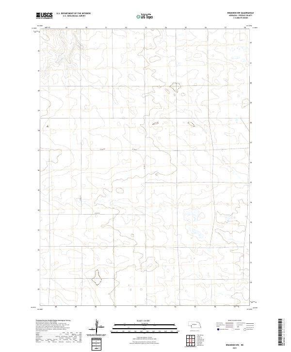
2021 Brandon NW
Perkins County, NE
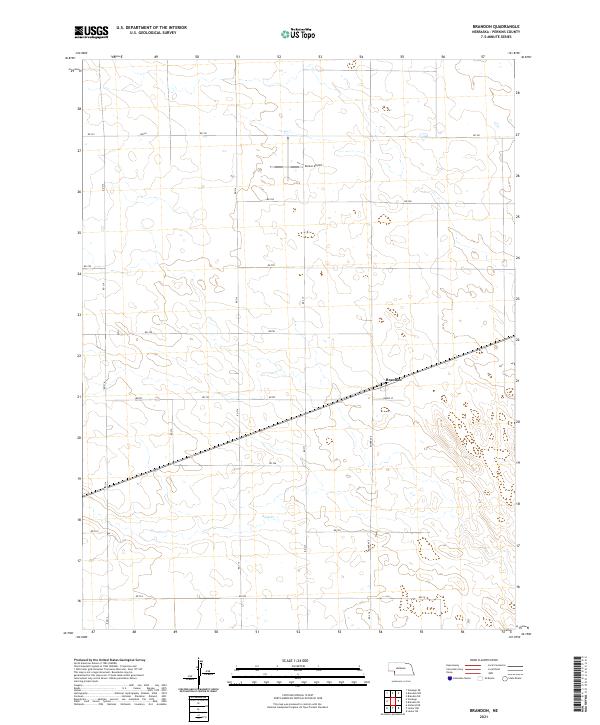
2021 Brandon
Perkins County, NE
2021 Brandon SE
Perkins County, NE
2021 Elsie NE
Perkins County, NE
2021 Elsie NW
Perkins County, NE
2021 Grainton
Perkins County, NE
2021 Grant NE
Perkins County, NE
2021 Wild Horse Spring
Perkins County, NE