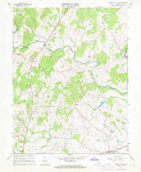
1966 Map of Brandy Station
USGS Topo · Published 1968About this map
Brandy Station sits at the southern edge of this mid-1960s landscape, where the Southern railroad line runs through a region defined by its prominent watercourses and historic rural centers. The terrain is dominated by the confluence of the Thornton River and Hazel River in the north, while smaller streams like Muddy Run and Jonas Run drain the lower pastures. Local history is deeply etched into the topography at Fleetwood Hill, a site of significant tactical importance in the nineteenth century, and through a dense network of country churches including Oak Shade Ch, Shiloh Ch, and Fleetwood Ch. From the slopes of Sneads Mtn to the settlement at Rixeyville, the map records a traditional Virginia Piedmont community before modern expansion, preserving the locations of the Rixeyville Sch and numerous small family cemeteries.
Find a feature on this map
35 named features on this map. Tap any name to fly to it.
Don’t see what you’re looking for? This feature index may not catch every label — zoom into the map to look around manually.
Map Details
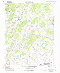
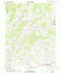
Editions of this 1966 Brandy Station Map
3 editions found
Other maps of this area

1887 · Spottsylvania
USGS Topo · 1:125,000

1892 · Spottsylvania
USGS Topo · 1:125,000

1892 · Gordonsville
USGS Topo · 1:125,000

1893 · Luray
USGS Topo · 1:125,000

1894 · Warrenton
USGS Topo · 1:125,000

1894 · Warrenton
USGS Topo · 1:62,500

1905 · Luray
USGS Topo · 1:125,000

1927 · Remington
USGS Topo · 1:48,000

1930 · Warrenton
USGS Topo · 1:62,500

1943 · Germanna Bridge
USGS Topo · 1:24,000