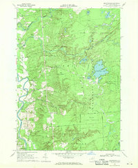
1966 Map of Brantingham
USGS Topo · Published 1970About this map
Adirondack State Park dominates the eastern half of this landscape, where the wooded expanse of the State Forest Preserve meets the developed summer retreats of the mid-1960s. The settlement of Brantingham serves as a central hub, situated between the shores of Brantingham Lake and Pleasant Lake. This area shows a distinct transition from the wilder topography of the park to the agricultural and transit corridors along the Black River valley. To the west, the village of Greig and the nearby Eatonville are connected by a network of rural roads such as Pine Grove Road and Chases Lake Road. Genealogists will find several burial sites preserved here, including St Thomas Cem, Sands Cem, and Greig Cem. The western edge of the sheet captures the industrial and transport infrastructure of Lyons Falls, where the Penn Central railroad follows the river's path.
Find a feature on this map
56 named features on this map. Tap any name to fly to it.
Don’t see what you’re looking for? This feature index may not catch every label — zoom into the map to look around manually.
Map Details
Editions of this 1966 Brantingham Map
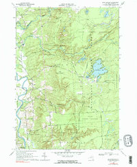
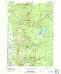
3 editions found
Other maps of this area

1905 · Port Leyden
USGS Topo · 1:62,500

1907 · Port Leyden
USGS Topo · 1:62,500

1911 · Lowville
USGS Topo · 1:62,500

1912 · Number Four
USGS Topo · 1:62,500

1912 · Mc Keever
USGS Topo · 1:62,500

1913 · Lowville
USGS Topo · 1:62,500

1915 · Number Four
USGS Topo · 1:62,500

1940 · Port Leyden
USGS Topo · 1:62,500

1950 · Utica
USGS Topo · 1:250,000

1957 · Utica
USGS Topo · 1:250,000