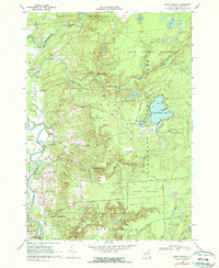
1966 Map of Brantingham
USGS Topo · Published 1990About this map
The Adirondack State Park boundary cuts through this corner of Lewis County, where the transition from wild forest preserve to settled river valley is clearly defined. The central focus is the community of Brantingham, established around the shores of Brantingham Lake and Pleasant Lake. This area was well-developed for recreation by the mid-1960s, featuring a Golf Course and numerous summer cottages accessed via Cottage Road and Long Shore Road.
Find a feature on this map
56 named features on this map. Tap any name to fly to it.
Don’t see what you’re looking for? This feature index may not catch every label — zoom into the map to look around manually.
Map Details
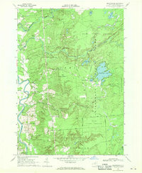
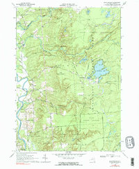
Editions of this 1966 Brantingham Map
3 editions found
Other maps of this area

1905 · Port Leyden
USGS Topo · 1:62,500

1907 · Port Leyden
USGS Topo · 1:62,500

1911 · Lowville
USGS Topo · 1:62,500

1912 · Number Four
USGS Topo · 1:62,500

1912 · Mc Keever
USGS Topo · 1:62,500

1913 · Lowville
USGS Topo · 1:62,500

1915 · Number Four
USGS Topo · 1:62,500

1940 · Port Leyden
USGS Topo · 1:62,500

1950 · Utica
USGS Topo · 1:250,000

1957 · Utica
USGS Topo · 1:250,000