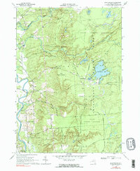
1966 Map of Brantingham
USGS Topo · Published 1990About this map
The Adirondack State Park border defines the eastern half of this 1966 survey, where the dense State Forest Preserve meets the agricultural and residential lands of the Black River valley. The settlement of Greig serves as a local hub near the river, situated amidst a cluster of historically significant sites including St Thomas Ch and its associated St Thomas Cem. To the east, the landscape shifts toward the recreation-focused terrain around Brantingham Lake, featuring a Golf Course and numerous cottages along the shoreline.
Find a feature on this map
48 named features on this map. Tap any name to fly to it.
Don’t see what you’re looking for? This feature index may not catch every label — zoom into the map to look around manually.
Map Details
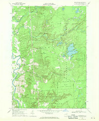
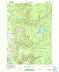
Editions of this 1966 Brantingham Map
3 editions found
Other maps of this area

1905 · Port Leyden
USGS Topo · 1:62,500

1907 · Port Leyden
USGS Topo · 1:62,500

1911 · Lowville
USGS Topo · 1:62,500

1912 · Number Four
USGS Topo · 1:62,500

1912 · Mc Keever
USGS Topo · 1:62,500

1913 · Lowville
USGS Topo · 1:62,500

1915 · Number Four
USGS Topo · 1:62,500

1940 · Port Leyden
USGS Topo · 1:62,500

1950 · Utica
USGS Topo · 1:250,000

1957 · Utica
USGS Topo · 1:250,000