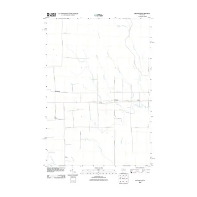
2010 Map of Brantwood
USGS Topo · Published 2010About this map
Brantwood and the neighboring settlement of Clifford anchor this survey of the Northwoods landscape where Price and Oneida counties meet. The area is defined by a dense network of watercourses, including the Somo River and its various tributaries like Somo Creek and Little Somo Creek. The layout of the land reflects a traditional rural grid, with long straight corridors such as County Hwy D and Town Hall Rd connecting dispersed homesteads and farms.
Find a feature on this map
42 named features on this map. Tap any name to fly to it.
Don’t see what you’re looking for? This feature index may not catch every label — zoom into the map to look around manually.
Map Details
Editions of this 2010 Brantwood Map
This is the sole edition of this map. No revisions or reprints were ever made.
Other maps of this area

1939 · Mc Cord
USGS Topo · 1:48,000

1941 · Brantwood
USGS Topo · 1:48,000

1943 · Brantwood
USGS Topo · 1:48,000

1945 · Rib Lake
USGS Topo · 1:48,000

1947 · Mc Cord
USGS Topo · 1:48,000

1947 · Rib Lake
USGS Topo · 1:48,000

1949 · Rib Lake
USGS Topo · 1:48,000

1950 · Spirit Falls
USGS Topo · 1:48,000

1952 · Spirit Falls
USGS Topo · 1:48,000

1953 · Rice Lake
USGS Topo · 1:250,000