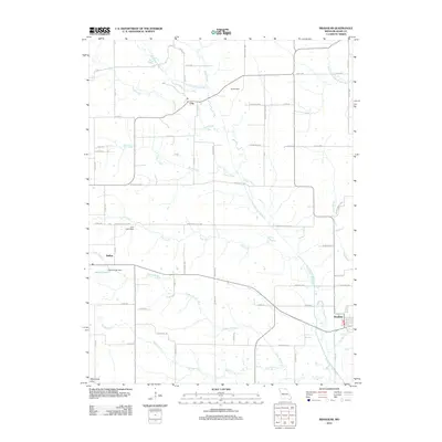
2012 Map of Brashear
USGS Topo · Published 2012About this map
Brashear serves as the primary hub of this agricultural landscape in northeast Missouri, where a complex network of waterways defines the terrain. The North Fork Salt River and its numerous tributaries, including Floyd Creek and Steer Creek, wind across the quadrangle, interspersed with several engineered water features like Taylor Dam and McCullough Dam near Patten Lake. Small settlements such as Clay and Bullion are connected by a dense grid of county roads and named lanes, illustrating the persistent rural township structure of the early 21st century. The map also captures the headwaters of several drainages, such as the South Fork South Fabius River and Brushy Fork, showing how the land is naturally divided by these modest but significant watercourses.
Find a feature on this map
63 named features on this map. Tap any name to fly to it.
Don’t see what you’re looking for? This feature index may not catch every label — zoom into the map to look around manually.
Map Details
Editions of this 2012 Brashear Map
This is the sole edition of this map. No revisions or reprints were ever made.
Other maps of this area

1903 · Edina
USGS Topo · 1:125,000

1911 · Queen City
USGS Topo · 1:62,500

1913 · Queen City
USGS Topo · 1:62,500

1938 · Kirksville
USGS Topo · 1:62,500

1940 · Kirksville
USGS Topo · 1:62,500

1954 · Centerville
USGS Topo · 1:250,000

1957 · Centerville
USGS Topo · 1:250,000

1958 · Centerville
USGS Topo · 1:250,000
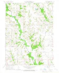
1965 · Locust Hill
USGS Topo · 1:24,000

1966 · Brashear
USGS Topo · 1:24,000