
1923 Map of Brassua Lake
USGS Topo · Published 1923About this map
The Canadian Pacific and Maine Central railroads converge at Somerset Junction Tarratine PO, a vital rail link in the Maine wilderness during the early 1920s. This interior landscape is defined by the expansive Brassua Lake and its connection to Moosehead Lake via the Moose River, where a Steamboat Route tracks north past Hardscrabble Pt. The presence of Brassua Dam and Long Pond Dam highlights the era's focus on water power and logging logistics managed by the State of Maine Water Power Commission.
Find a feature on this map
76 named features on this map. Tap any name to fly to it.
Don’t see what you’re looking for? This feature index may not catch every label — zoom into the map to look around manually.
Map Details
Editions of this 1923 Brassua Lake Map
4 editions found
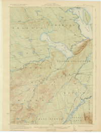
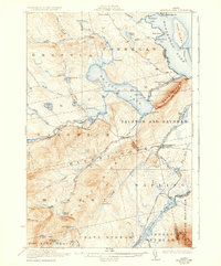
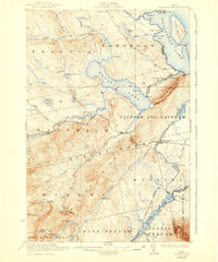
Other maps of this area

1905 · The Forks
USGS Topo · 1:62,500

1907 · The Forks
USGS Topo · 1:62,500

1920 · Moosehead Lake
USGS Topo · 1:62,500

1921 · Brassua Lake
USGS Topo · 1:62,500

1922 · Moosehead Lake
USGS Topo · 1:62,500

1922 · Long Pond
USGS Topo · 1:62,500

1924 · Long Pond
USGS Topo · 1:62,500

1925 · Pierce Pond
USGS Topo · 1:48,000

1927 · Pierce Pond
USGS Topo · 1:62,500

1930 · Moosehead Lake
USGS Topo · 1:62,500
Featured Places
- Misery Gore, ME
- Tomhegan Township, ME
- Sapling Township, ME
- Big Moose Township, ME
- Tarratine, Taunton & Raynham Academy Grant