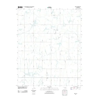
2012 Map of Bray
USGS Topo · Published 2012About this map
Bailey and Bray anchor this section of Oklahoma, defined by an intricate network of flood control structures and rural road grids. The landscape is dominated by the upper reaches of the Rush Creek watershed, evidenced by dozens of numbered impoundments such as Rush Creek Site 104 Reservoir and Rush Creek Site 11 Reservoir. These sites, along with others like Rush Creek Site 45 Reservoir, illustrate a highly managed hydrologic system designed to regulate flow into larger tributaries like Rush Cr and Fourmile Cr.
Find a feature on this map
58 named features on this map. Tap any name to fly to it.
Don’t see what you’re looking for? This feature index may not catch every label — zoom into the map to look around manually.
Map Details
Editions of this 2012 Bray Map
This is the sole edition of this map. No revisions or reprints were ever made.
Other maps of this area

1902 · Rush Springs
USGS Topo · 1:125,000

1949 · Rush Springs
USGS Topo · 1:62,500

1950 · Rush Springs
USGS Topo · 1:62,500

1950 · Marlow
USGS Topo · 1:62,500

1951 · Marlow
USGS Topo · 1:62,500

1957 · Ardmore
USGS Topo · 1:250,000

1963 · Ardmore
USGS Topo · 1:250,000

1966 · Lindsay SW
USGS Topo · 1:24,000
1974 · Cox City
USGS Topo · 1:24,000
1974 · Lake Fuqua
USGS Topo · 1:24,000