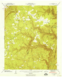
1946 Map of Brayton
USGS Topo · Published 1960About this map
Walden Ridge dominates this mid-century survey, where the dramatic elevation change of the Cumberland Escarpment defines the settlement patterns of Bledsoe County. The landscape is deeply incised by the McGill Gulf, a complex of steep ravines and hollows including Rattlesnake Hollow and Polecat Hollow. Small communities like Brayton and Hendon are situated near the ridges and gaps, serving as focal points for rural life. Genealogists and local historians can find specific landmarks such as the Hendon Cem, Brayton Church, and family-named locations like Smithtown and Hickory Grove. The placement of the Lookout Tower near the escarpment edge highlights the strategic vantage points used for forest management during this era, while features like Hart Springs and Boiling Spring indicate the importance of natural water sources in this elevated terrain.
Find a feature on this map
65 named features on this map. Tap any name to fly to it.
Don’t see what you’re looking for? This feature index may not catch every label — zoom into the map to look around manually.
Map Details
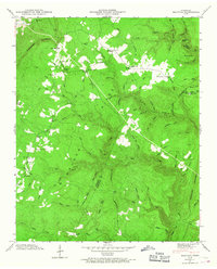
Editions of this 1946 Brayton Map
2 editions found
Other maps of this area

1888 · Chattanooga
USGS Topo · 1:125,000

1892 · Pikeville
USGS Topo · 1:125,000

1893 · Chattanooga
USGS Topo · 1:125,000

1895 · Pikeville
USGS Topo · 1:125,000

1909 · Sequatchie Valley
USGS Topo · 1:62,500

1910 · Pikeville
USGS Topo · 1:62,500

1935 · Morgan Springs
USGS Topo · 1:24,000

1935 · Soddy
USGS Topo · 1:24,000

1935 · Brockdell
USGS Topo · 1:24,000

1935 · Brayton
USGS Topo · 1:24,000