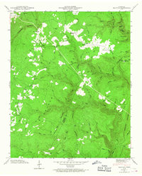
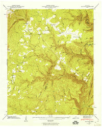
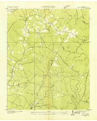
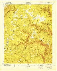
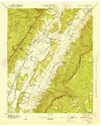
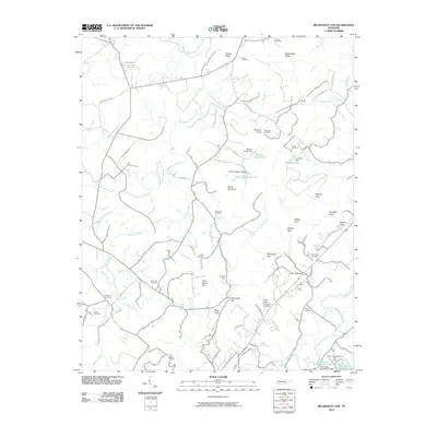
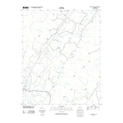
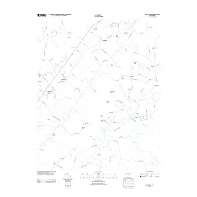
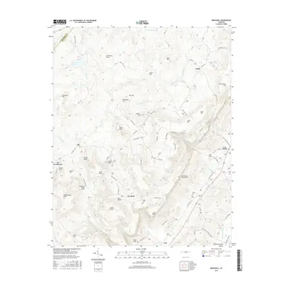
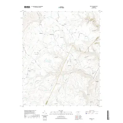
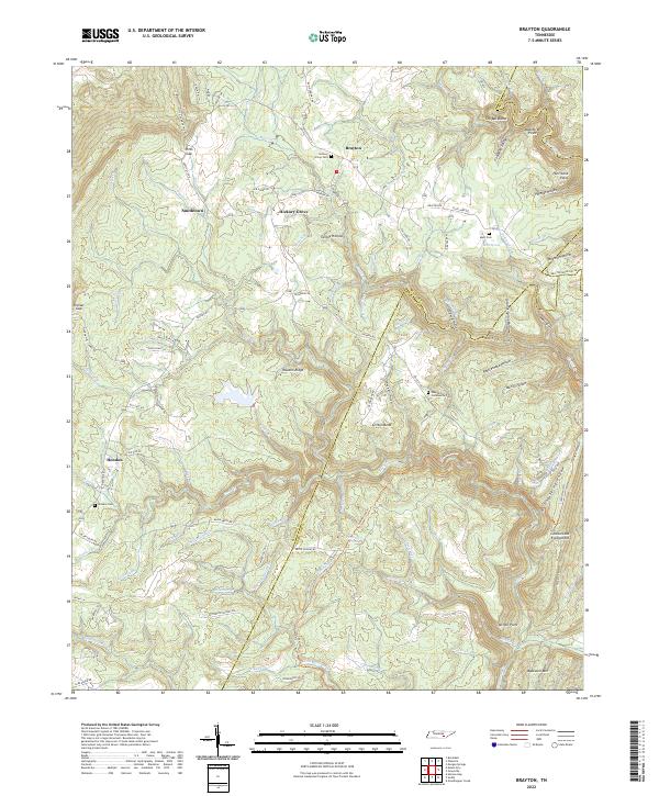
1946 Map of Brayton
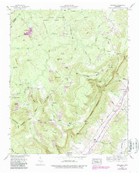
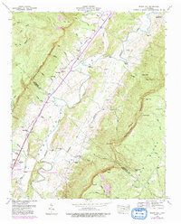
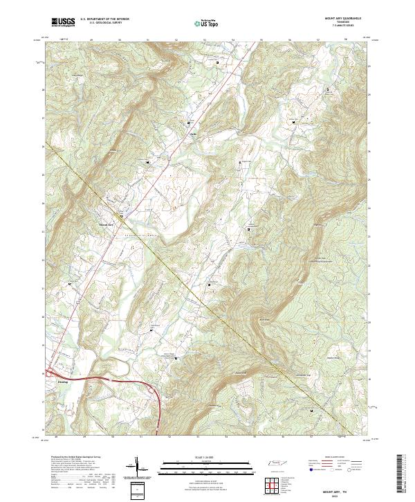
USGS Topo · Published 1967About this map
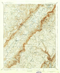
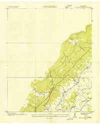
Walden Ridge dominates this mid-century topographic survey, where the dramatic rise of the Cumberland Escarpment defines the western edge of the landscape. Settlements like Brayton and Hendon are shown alongside smaller family-named clusters such as Smithtown and Hickory Grove, reflecting the rural habitation patterns of the post-war era in Bledsoe County. The terrain is deeply incised by a network of drainage features, including the notable McGill Gulf and numerous branches like Rattlesnake Hollow and Suzanne Branch. Local landmarks of historical interest include the Hendon Cem and a Lookout Tower positioned for forest surveillance. The presence of Brayton Ch and Hart Spring provides a look at the community hubs and water sources that sustained these upland communities before modernization reshaped the region's infrastructure.
Find a feature on this map
91 named features on this map. Tap any name to fly to it.
Don’t see what you’re looking for? This feature index may not catch every label — zoom into the map to look around manually.
Map Details
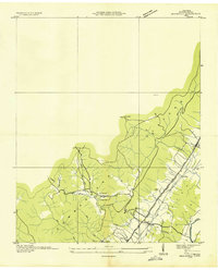
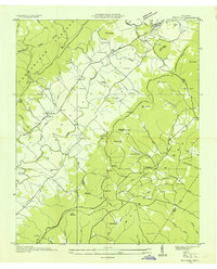
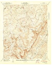
Editions of this 1946 Brayton Map
2 editions found
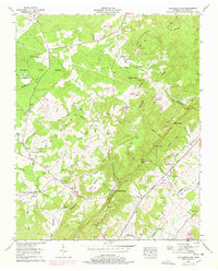
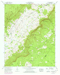
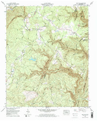
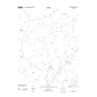
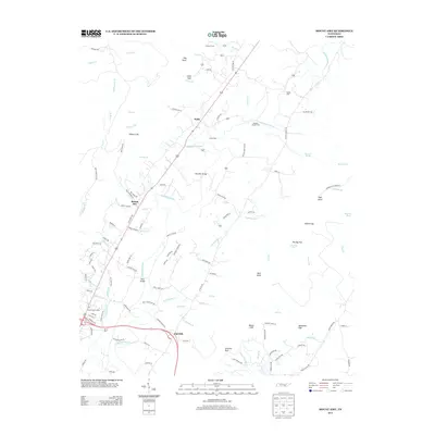
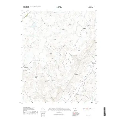
Historical Maps of Hickory Grove Through Time
41 maps found

1909 Sequatchie Valley
Bledsoe County, TN
1910 Sequatchie Valley
Bledsoe County, TN
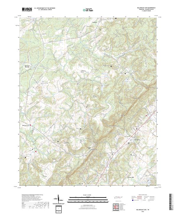
1935 Billingsley Gap
Bledsoe County, TN
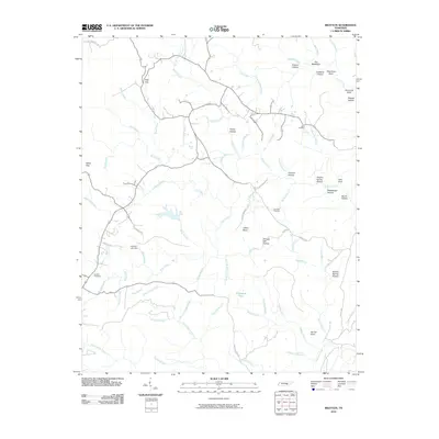
1935 Brayton
Bledsoe County, TN
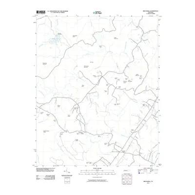
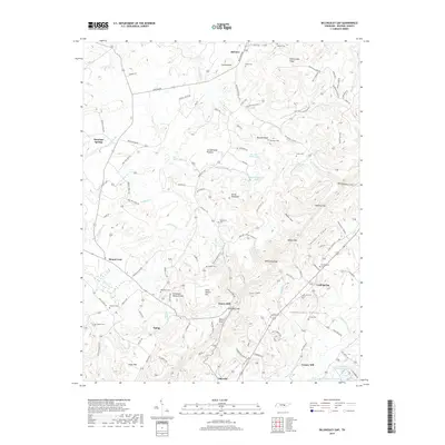
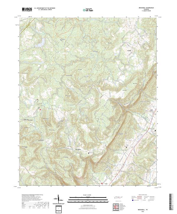
1935 Brockdell
Bledsoe County, TN
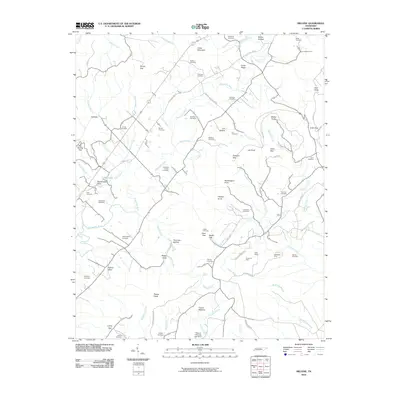
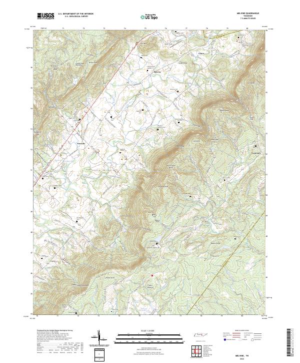
1935 Melvine
Bledsoe County, TN
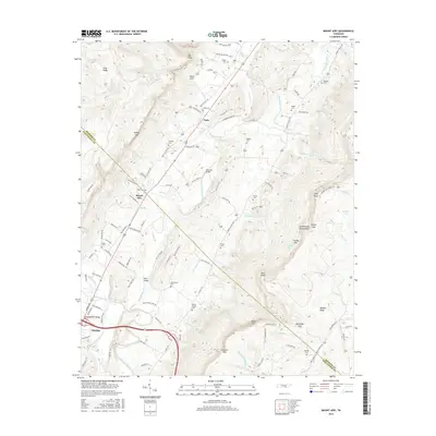
1935 Mount Airy
Bledsoe County, TN
1946 Brayton
Bledsoe County, TN
1946 Brockdell
Bledsoe County, TN
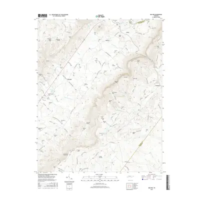
1946 Mount Airy
Bledsoe County, TN
1947 Brayton
Bledsoe County, TN
1947 Brockdell
Bledsoe County, TN
1947 Mount Airy
Bledsoe County, TN
1956 Billingsley Gap
Bledsoe County, TN
1956 Melvine
Bledsoe County, TN
1972 Brayton
Bledsoe County, TN
2010 Billingsley Gap
Bledsoe County, TN
2010 Brayton
Bledsoe County, TN
2010 Brockdell
Bledsoe County, TN
2010 Melvine
Bledsoe County, TN
2010 Mount Airy
Bledsoe County, TN
2013 Billingsley Gap
Bledsoe County, TN
2013 Brayton
Bledsoe County, TN
2013 Brockdell
Bledsoe County, TN
2013 Melvine
Bledsoe County, TN
2013 Mount Airy
Bledsoe County, TN
2016 Billingsley Gap
Bledsoe County, TN
2016 Brayton
Bledsoe County, TN
2016 Brockdell
Bledsoe County, TN
2016 Melvine
Bledsoe County, TN
2016 Mount Airy
Bledsoe County, TN
2019 Billingsley Gap
Bledsoe County, TN
2019 Brayton
Bledsoe County, TN
2019 Brockdell
Bledsoe County, TN
2019 Melvine
Bledsoe County, TN
2019 Mount Airy
Bledsoe County, TN
2022 Billingsley Gap
Bledsoe County, TN
2022 Brayton
Bledsoe County, TN
2022 Brockdell
Bledsoe County, TN
2022 Melvine
Bledsoe County, TN
2022 Mount Airy
Bledsoe County, TN