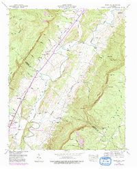
1946 Map of Mount Airy
USGS Topo · Published 1991About this map
The Sequatchie River carves a deep valley between the Cumberland Yellow Cliff Escarpment and the high flats of Walden Ridge. This landscape, centered around the settlement of Mount Airy, reflects a post-war rural economy transitioning into the late 20th century, with original 1946 topography supplemented by later updates to the road network, including the Alvin C York Highway. The valley floor is dotted with small family and community anchors such as Pope Cem, Ebenezer Ch, and Stephen Chapel. Near the southern boundary, the town of Dunlap serves as a local hub where Brush Cr meets the river. Evidence of the region's industrial ties appears in several Strip Mines on the northern ridges and an Old Railroad Grade that speaks to earlier timber or coal transport routes that once defined these mountainsides.
Find a feature on this map
73 named features on this map. Tap any name to fly to it.
Don’t see what you’re looking for? This feature index may not catch every label — zoom into the map to look around manually.
Map Details
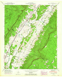
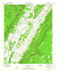
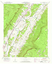
Editions of this 1946 Mount Airy Map
4 editions found
Other maps of this area

1888 · Chattanooga
USGS Topo · 1:125,000

1892 · Pikeville
USGS Topo · 1:125,000

1893 · Chattanooga
USGS Topo · 1:125,000

1895 · Pikeville
USGS Topo · 1:125,000

1909 · Sequatchie Valley
USGS Topo · 1:62,500

1910 · Pikeville
USGS Topo · 1:62,500

1935 · Soddy
USGS Topo · 1:24,000

1935 · Brockdell
USGS Topo · 1:24,000

1935 · Brayton
USGS Topo · 1:24,000

1935 · Mount Airy
USGS Topo · 1:24,000