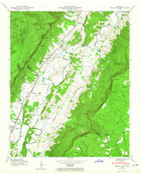
1946 Map of Mount Airy
USGS Topo · Published 1965About this map
The Sequatchie River valley dominates this 1946 terrain study, winding between the massive Cumberland Escarpment and high ridges like Buck Knob. This agricultural corridor is anchored by the settlement of Mount Airy, with several family-named cemeteries such as Pope Cem and Mc Williams Cem providing critical data for genealogists. The map illustrates a rural landscape where life centered around local institutions like Sunnyside Sch, Ebenezer Ch, and Mount Airy Ch. Transportation in the valley relied on river crossings like Gates Ford and the Brush Creek Siding rail infrastructure. Dramatic elevation changes are evident at Raven Cliff and Hog Point, where the valley floor meets the steep escarpment walls.
Find a feature on this map
85 named features on this map. Tap any name to fly to it.
Don’t see what you’re looking for? This feature index may not catch every label — zoom into the map to look around manually.
Map Details
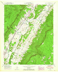
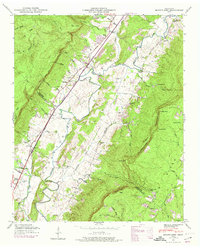
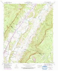
Editions of this 1946 Mount Airy Map
4 editions found
Other maps of this area

1888 · Chattanooga
USGS Topo · 1:125,000

1892 · Pikeville
USGS Topo · 1:125,000

1893 · Chattanooga
USGS Topo · 1:125,000

1895 · Pikeville
USGS Topo · 1:125,000

1909 · Sequatchie Valley
USGS Topo · 1:62,500

1910 · Pikeville
USGS Topo · 1:62,500

1935 · Soddy
USGS Topo · 1:24,000

1935 · Brockdell
USGS Topo · 1:24,000

1935 · Brayton
USGS Topo · 1:24,000

1935 · Mount Airy
USGS Topo · 1:24,000