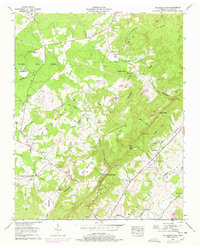
1956 Map of Billingsley Gap
USGS Topo · Published 1978About this map
The Cumberland Plateau drops sharply into the Sequatchie Valley on this mid-century survey of Bledsoe County. The landscape is defined by its dramatic relief, where features like Devils Racepath and Tom Hale Gulf mark the transition from the high, timbered Bledsoe State Forest down to the fertile river bottomlands. This topographic pattern dictated early Tennessee settlement, concentrating rural life along the corridor of the Sequatchie River and its numerous mountain-fed tributaries like Glade Creek and Thompson Creek.
Find a feature on this map
65 named features on this map. Tap any name to fly to it.
Don’t see what you’re looking for? This feature index may not catch every label — zoom into the map to look around manually.
Map Details
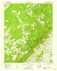
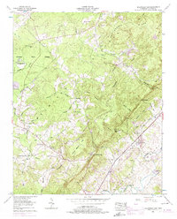
Editions of this 1956 Billingsley Gap Map
3 editions found
Other maps of this area

1892 · Pikeville
USGS Topo · 1:125,000

1895 · Pikeville
USGS Topo · 1:125,000

1909 · Sequatchie Valley
USGS Topo · 1:62,500

1910 · Pikeville
USGS Topo · 1:62,500

1912 · Crossville
USGS Topo · 1:62,500

1935 · Melvine
USGS Topo · 1:24,000

1935 · Morgan Springs
USGS Topo · 1:24,000

1935 · Brockdell
USGS Topo · 1:24,000

1935 · Billingsley Gap
USGS Topo · 1:24,000
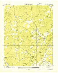
1935 · Vandever
USGS Topo · 1:24,000