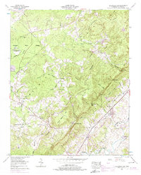
1956 Map of Billingsley Gap
USGS Topo · Published 1974About this map
The Cumberland Plateau dominates this landscape, where the Tennessee Valley Divide snakes through heavily wooded uplands and steep gaps. Settlement is concentrated along the ridges and the fertile valley of the Sequatchie River at the southeast. The Bledsoe State Forest covers a significant portion of the western plateau, which is dotted with isolated landmarks such as the Lookout tower and Airway beacon.
Find a feature on this map
57 named features on this map. Tap any name to fly to it.
Don’t see what you’re looking for? This feature index may not catch every label — zoom into the map to look around manually.
Map Details
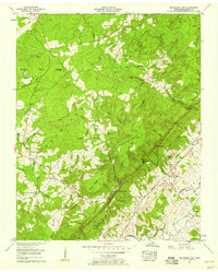
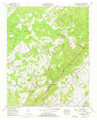
Editions of this 1956 Billingsley Gap Map
3 editions found
Other maps of this area

1892 · Pikeville
USGS Topo · 1:125,000

1895 · Pikeville
USGS Topo · 1:125,000

1909 · Sequatchie Valley
USGS Topo · 1:62,500

1910 · Pikeville
USGS Topo · 1:62,500

1912 · Crossville
USGS Topo · 1:62,500

1935 · Melvine
USGS Topo · 1:24,000

1935 · Morgan Springs
USGS Topo · 1:24,000

1935 · Brockdell
USGS Topo · 1:24,000

1935 · Billingsley Gap
USGS Topo · 1:24,000
1935 · Vandever
USGS Topo · 1:24,000