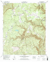
1972 Map of Brayton
USGS Topo · Published 1974About this map
McGill Ridge and the Walden Ridge plateau dominate this landscape in the early 1970s, where the dramatic descent of the Cumberland Escarpment meets the rural communities of Bledsoe County. Small settlements like Brayton and Smithtown are central to the upland life, connected by the Brayton-Hendon Community Center and local landmarks like Brayton Ch. The era is defined by extractive industry, evidenced by numerous strip mines dotting the ridges above Pitts Gap.
Find a feature on this map
65 named features on this map. Tap any name to fly to it.
Don’t see what you’re looking for? This feature index may not catch every label — zoom into the map to look around manually.
Map Details
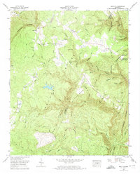
Editions of this 1972 Brayton Map
2 editions found
Other maps of this area

1888 · Chattanooga
USGS Topo · 1:125,000

1892 · Pikeville
USGS Topo · 1:125,000

1893 · Chattanooga
USGS Topo · 1:125,000

1895 · Pikeville
USGS Topo · 1:125,000

1909 · Sequatchie Valley
USGS Topo · 1:62,500

1910 · Pikeville
USGS Topo · 1:62,500

1935 · Morgan Springs
USGS Topo · 1:24,000

1935 · Soddy
USGS Topo · 1:24,000

1935 · Brockdell
USGS Topo · 1:24,000

1935 · Brayton
USGS Topo · 1:24,000