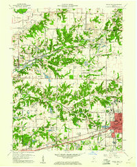
1960 Map of Brazil West
USGS Topo · Published 1961About this map
Industrial strip mining and a complex network of rail lines define this Indiana landscape at the dawn of the 1960s. The city of Brazil anchors the southeastern corner, serving as a hub where the Pennsylvania and Baltimore and Ohio railroads converge. Numerous Strip Mines are cut into the terrain, particularly around Coal Bluff and Fontanet, revealing the intensive coal extraction of the era. This activity is interwoven with rural family life, evidenced by a dense distribution of country churches and schools such as Sharon Ch and Bee Ridge Sch.
Find a feature on this map
76 named features on this map. Tap any name to fly to it.
Don’t see what you’re looking for? This feature index may not catch every label — zoom into the map to look around manually.
Map Details
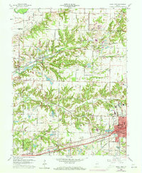
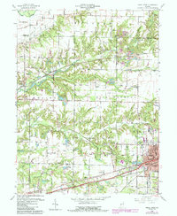
Editions of this 1960 Brazil West Map
3 editions found
Other maps of this area

1908 · Clay City
USGS Topo · 1:48,000

1910 · Clay City
USGS Topo · 1:62,500

1941 · Seelyville
USGS Topo · 1:24,000

1950 · Rosedale
USGS Topo · 1:24,000

1950 · Brazil East
USGS Topo · 1:24,000

1950 · Brazil West
USGS Topo · 1:24,000

1951 · Mecca
USGS Topo · 1:24,000

1951 · Mansfield
USGS Topo · 1:24,000

1952 · Catlin
USGS Topo · 1:24,000

1952 · Seelyville
USGS Topo · 1:24,000