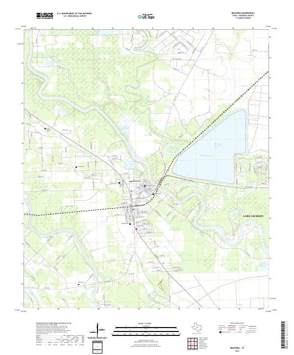
2022 Map of Brazoria
USGS Topo · Published 2022About this map
Brazoria and the adjacent Old Brazoria sit at a sharp bend in the Brazos River, where the river's meandering course defines the geography of southeast Texas. This landscape is a complex network of waterways, featuring the San Bernard River and the large Brazoria Reservoir, which is fed by Buffalo Camp Bayou. The abundance of water is reflected in named features like McFadden Bayou, Dry Bayou, and the Cocklebur Slough.
Find a feature on this map
133 named features on this map. Tap any name to fly to it.
Don’t see what you’re looking for? This feature index may not catch every label — zoom into the map to look around manually.
Map Details
Editions of this 2022 Brazoria Map
This is the sole edition of this map. No revisions or reprints were ever made.
Other maps of this area

1943 · Jones Creek
USGS Topo · 1:31,680

1943 · Angleton
USGS Topo · 1:24,000

1943 · Snipe
USGS Topo · 1:31,680

1950 · Houston
USGS Topo · 1:250,000

1951 · Bay City
USGS Topo · 1:250,000

1952 · West Columbia
USGS Topo · 1:24,000

1952 · Sweeny
USGS Topo · 1:24,000

1952 · Cedar Lane NE
USGS Topo · 1:24,000

1952 · East Columbia
USGS Topo · 1:24,000

1952 · Brazoria
USGS Topo · 1:24,000