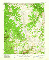
1955 Map of Brazos Peak
USGS Topo · Published 1963About this map
The high-elevation grazing and ranching economy of Rio Arriba County is evident in this mid-century survey, which details a network of seasonal camps and cabins throughout the Carson National Forest. Remote outposts such as Stewart Cow Camp, Burn Cow Camp, and Huffaker Cabin are scattered across the terrain, connected by the Deep Trail. The landscape is dominated by the dramatic topography of Brazos Peak and the sheer Brazos Cliffs that overlook the complex drainage systems of the Rio Brazos and Chaves Creek.
Find a feature on this map
60 named features on this map. Tap any name to fly to it.
Don’t see what you’re looking for? This feature index may not catch every label — zoom into the map to look around manually.
Map Details
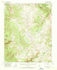
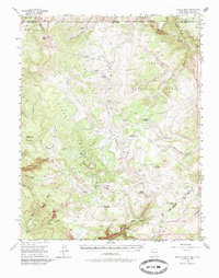
Editions of this 1955 Brazos Peak Map
4 editions found

Other maps of this area

1913 · Summitville
USGS Topo · 1:125,000

1915 · Summitville
USGS Topo · 1:125,000

1918 · Tusas
USGS Topo · 1:125,000

1922 · Conejos
USGS Topo · 1:125,000

1945 · Durango
USGS Topo · 1:250,000

1953 · Durango
USGS Topo · 1:250,000

1954 · Durango
USGS Topo · 1:250,000

1954 · Aztec
USGS Topo · 1:250,000

1955 · Chama
USGS Topo · 1:62,500

1955 · Cebolla
USGS Topo · 1:62,500