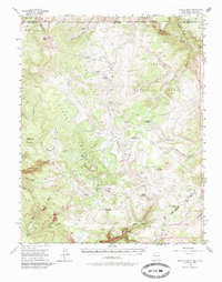
1955 Map of Brazos Peak
USGS Topo · Published 1985About this map
Brazos Peak and the surrounding high-altitude terrain of the Carson National Forest dominate this mid-century survey of the New Mexico-Colorado border. The landscape is defined by the massive Brazos Cliffs and the complex drainage systems of the Rio Brazos and Rio de los Pinos. The presence of numerous seasonal outposts such as Burn Cow Camp, Rivera Cow Camp, and Stewart Cow Camp suggests a geography heavily utilized for summer livestock grazing within the Tierra Amarilla Grant.
Find a feature on this map
59 named features on this map. Tap any name to fly to it.
Don’t see what you’re looking for? This feature index may not catch every label — zoom into the map to look around manually.
Map Details
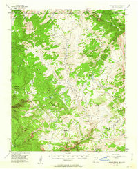
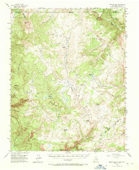
Editions of this 1955 Brazos Peak Map
4 editions found

Other maps of this area

1913 · Summitville
USGS Topo · 1:125,000

1915 · Summitville
USGS Topo · 1:125,000

1918 · Tusas
USGS Topo · 1:125,000

1922 · Conejos
USGS Topo · 1:125,000

1945 · Durango
USGS Topo · 1:250,000

1953 · Durango
USGS Topo · 1:250,000

1954 · Durango
USGS Topo · 1:250,000

1954 · Aztec
USGS Topo · 1:250,000

1955 · Chama
USGS Topo · 1:62,500

1955 · Cebolla
USGS Topo · 1:62,500