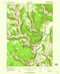
1943 Map of Breakabeen
USGS Topo · Published 1959About this map
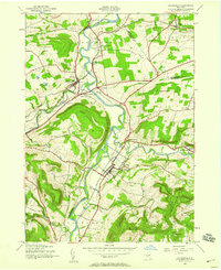
Schoharie Creek carves a deep valley through this portion of Schoharie County, defining the local topography and the placement of early settlements. On the eastern bank, the village of Breakabeen sits near the foot of Towpath Mountain, while the creek bypasses the large landform of Boucks Island just to the north. This mid-century landscape is marked by small hamlets like West Fulton and Fultonham, which are linked by winding valley roads that follow the path of Panther Creek and Creek Valley.
Find a feature on this map
36 named features on this map. Tap any name to fly to it.
Don’t see what you’re looking for? This feature index may not catch every label — zoom into the map to look around manually.
Map Details
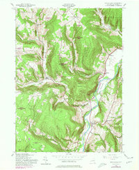
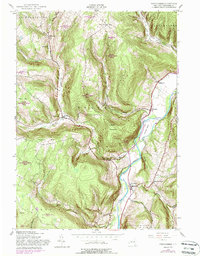
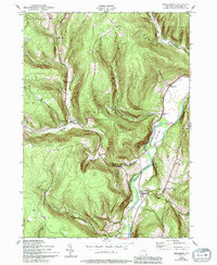
Editions of this 1943 Breakabeen Map
5 editions found
Other maps of this area

1898 · Schoharie
USGS Topo · 1:62,500

1900 · Schoharie
USGS Topo · 1:62,500

1900 · Schoharie
USGS Topo · 1:31,680

1901 · Gilboa
USGS Topo · 1:62,500

1903 · Gilboa
USGS Topo · 1:62,500

1904 · Richmondville
USGS Topo · 1:62,500

1904 · Hobart
USGS Topo · 1:62,500

1943 · Cobleskill
USGS Topo · 1:24,000

1943 · Breakabeen
USGS Topo · 1:24,000
1943 · Schoharie
USGS Topo · 1:24,000