
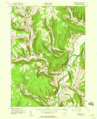
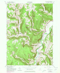
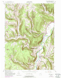
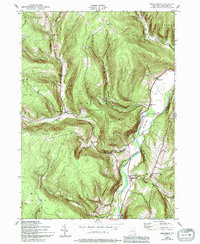
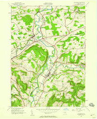
1943 Map of Breakabeen
USGS Topo · Published 1959About this map
Schoharie Creek carves a deep path through the Schoharie Valley, where the 1943 landscape is defined by tight clusters of upland farming and riverside settlements. The survey reveals a network of rural schoolhouses, such as School No 9 near Patria and School No 11 near Housons Corners, marking the community centers of the mid-century era. Prominent topographic features like Towpath Mountain and the dramatic Walhalla Rocks loom over the valley floor, while Boucks Falls sits at the convergence of mountain drainages. The map records several distinct hamlets including West Fulton and Breakabeen, showing the distribution of homesteads and local infrastructure before modern development patterns. This record of the Catskill foothills transition zone preserves the names of countless hollows and hills, including Cole Hollow and Fulton Hill, reflecting the local genealogy of Schoharie County.
Find a feature on this map
31 named features on this map. Tap any name to fly to it.
Don’t see what you’re looking for? This feature index may not catch every label — zoom into the map to look around manually.
Map Details
Editions of this 1943 Breakabeen Map
5 editions found
Other maps of this area

1898 · Schoharie
USGS Topo · 1:62,500

1900 · Schoharie
USGS Topo · 1:62,500

1900 · Schoharie
USGS Topo · 1:31,680

1901 · Gilboa
USGS Topo · 1:62,500

1903 · Gilboa
USGS Topo · 1:62,500

1904 · Richmondville
USGS Topo · 1:62,500

1904 · Hobart
USGS Topo · 1:62,500

1943 · Cobleskill
USGS Topo · 1:24,000
1943 · Schoharie
USGS Topo · 1:24,000

1943 · Summit
USGS Topo · 1:24,000