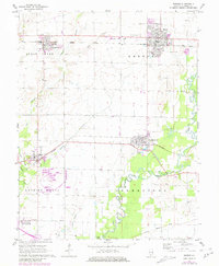
2024 Map of Breese
USGS Topo · Published 2024About this map
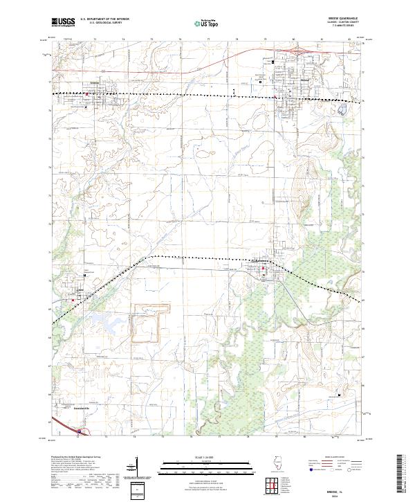
The agricultural plains of Clinton County define this area, where established settlements like Breese and Aviston are connected by the historic corridor of Old US Hwy 50. This recent survey illustrates a landscape deeply rooted in its community institutions, marked by numerous parish cemeteries including Saint Dominic - Saint Augustine Cem and Saint Boniface Cem. The drainage patterns of Shoal Creek and Grassy Branch weave through the township, shaping the local geography around Germantown and Albers. Genealogists will find particular value in the meticulous documentation of rural burial grounds such as Ammons Cem and the prominent elevation of Boot Hill, providing a clear record of the area's social and physical evolution into the 2020s.
Find a feature on this map
42 named features on this map. Tap any name to fly to it.
Don’t see what you’re looking for? This feature index may not catch every label — zoom into the map to look around manually.
Map Details
Editions of this 2024 Breese Map
This is the sole edition of this map. No revisions or reprints were ever made.
Historical Maps of Clinton County Through Time
4 maps found