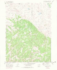
1971 Map of Breeze Mountain
USGS Topo · Published 1983About this map
The Williams Fork Mountains dominate this 1971 survey, showing a landscape defined by industrial extraction and high-country ranching. Located along the border of Moffat and Routt Counties, the terrain is marked by a network of drainage features such as Smuin Gulch and Long Gulch that feed toward the Yampa River in the northeast corner. The map reveals an active period of energy exploration, evidenced by numerous Gas Wells, Oil Well sites, and scattered Drill Hole locations across the slopes of Breeze Mountain.
Find a feature on this map
33 named features on this map. Tap any name to fly to it.
Don’t see what you’re looking for? This feature index may not catch every label — zoom into the map to look around manually.
Map Details
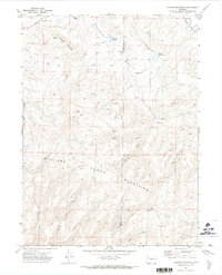
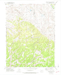
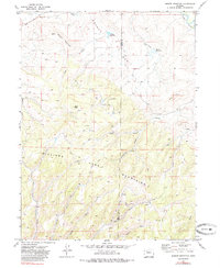
Editions of this 1971 Breeze Mountain Map
4 editions found
Other maps of this area

1910 · Danforth Hills
USGS Topo · 1:125,000

1915 · Monument Butte
USGS Topo · 1:62,500

1916 · Craig
USGS Topo · 1:125,000

1916 · Daton Peak
USGS Topo · 1:62,500

1920 · Daton Peak
USGS Topo · 1:62,500

1923 · Elkhead Creek
USGS Topo · 1:62,500

1924 · Elkhead Creek
USGS Topo · 1:62,500

1954 · Craig
USGS Topo · 1:250,000

1957 · Craig
USGS Topo · 1:250,000

1958 · Craig
USGS Topo · 1:250,000