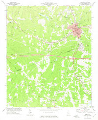
1973 Map of Bremen
USGS Topo · Published 1975About this map
Bremen serves as a significant rail and highway crossroads in the early 1970s, where the Southern and Central Of Georgia railroad lines intersect. This junction, combined with the presence of Georgia 1, highlights the area's role as a regional transportation hub. Smaller, historically distinct communities like Budapest and Waco dot the landscape along the rail corridors, reflecting an era of decentralized rural life centered around local landmarks.
Find a feature on this map
39 named features on this map. Tap any name to fly to it.
Don’t see what you’re looking for? This feature index may not catch every label — zoom into the map to look around manually.
Map Details
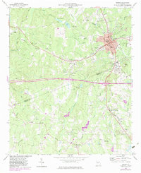
Editions of this 1973 Bremen Map
2 editions found
Other maps of this area

1889 · Tallapoosa
USGS Topo · 1:125,000

1892 · Tallapoosa
USGS Topo · 1:125,000

1897 · Tallapoosa
USGS Topo · 1:125,000

1953 · Atlanta
USGS Topo · 1:250,000

1957 · Atlanta
USGS Topo · 1:250,000

1958 · Atlanta
USGS Topo · 1:250,000

1958 · Carrollton
USGS Topo · 1:62,500

1958 · Buchanan
USGS Topo · 1:62,500

1965 · Tallapoosa South
USGS Topo · 1:24,000

1966 · Tallapoosa North
USGS Topo · 1:24,000