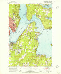
1953 Map of Bremerton East
USGS Topo · Published 1955About this map
The maritime landscape of the Kitsap Peninsula and southern Bainbridge Island is revealed in detail just as the mid-century suburban expansion began to touch these shoreline communities. At the center of the sheet, the strategic waters of Rich Passage separate the mainland from the Fort Ward (Naval Reservation), a site that defines the military heritage of the area alongside the Veterans Home (Retsil PO) near Port Orchard.
Find a feature on this map
70 named features on this map. Tap any name to fly to it.
Don’t see what you’re looking for? This feature index may not catch every label — zoom into the map to look around manually.
Map Details
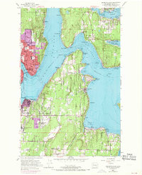
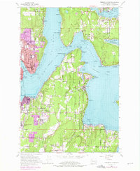
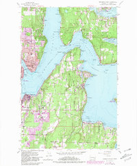
Editions of this 1953 Bremerton East Map
4 editions found
Other maps of this area

1894 · Seattle
USGS Topo · 1:62,500

1895 · Snohomish
USGS Topo · 1:125,000

1897 · Tacoma
USGS Topo · 1:125,000

1897 · Seattle
USGS Topo · 1:125,000

1900 · Tacoma
USGS Topo · 1:125,000

1908 · Seattle
USGS Topo · 1:62,500

1909 · Seattle Special
USGS Topo · 1:62,500

1937 · Port Orchard
USGS Topo · 1:62,500

1942 · Gig Harbor
USGS Topo · 1:62,500

1943 · Gig Harbor
USGS Topo · 1:62,500