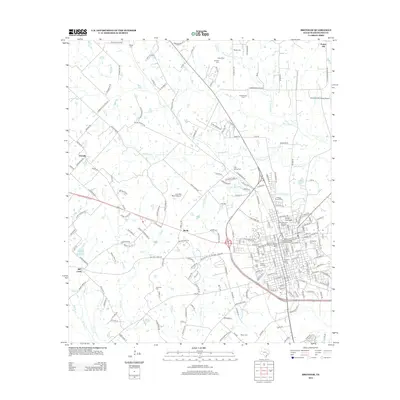
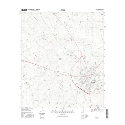
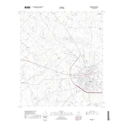
1993 Map of Brenham
USGS Topo · Published 1993About this map
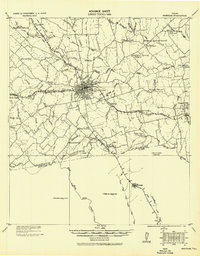
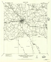
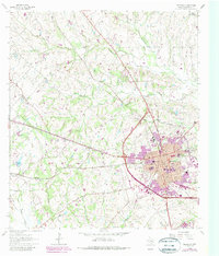
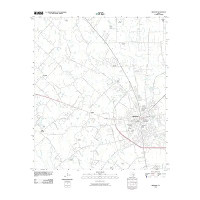
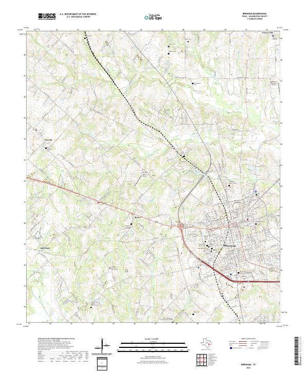
The Brazos River and Navasota River converge in this detailed mapping of the Texas coastal plain's interior, anchoring a region defined by its deep colonial roots and river-bottom agriculture. At this historical junction lies Washington-on-the-Brazos State Park, the site where the Texas Declaration of Independence was signed. The landscape is a network of small, established settlements like Chappell Hill, Independence, and Warrenton, connected by early thoroughfares and the reaching lines of the Southern Pacific RR and Atchison Topeka & Santa Fe RR. Central to the area's hydrology is the expansive Somerville Lake, which serves as a major catchment for Yegua Creek. From the Hidalgo Bluffs to the marshes of Flag Pond, the map reveals a transition from wooded bottomlands to the rolling prairies that supported the growth of regional centers like Brenham and Navasota.
Find a feature on this map
139 named features on this map. Tap any name to fly to it.
Don’t see what you’re looking for? This feature index may not catch every label — zoom into the map to look around manually.
Map Details
Editions of this 1993 Brenham Map
This is the sole edition of this map. No revisions or reprints were ever made.
Historical Maps of Brenham Through Time
9 maps found