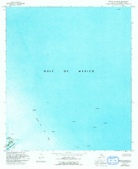
1971 Map of Breton Islands SE
USGS Topo · Published 1992About this map
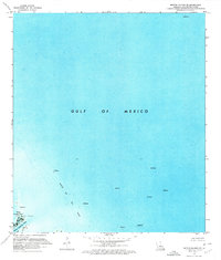
Gulf of Mexico waters dominate this coastal survey, where the deep-water industrial landscape of the early 1970s is clearly defined. The map focus is centered on the Block 69 Oil Field, a significant offshore development marked by numerous oil wells and several large platforms positioned throughout the open water. This orthophotomap provides a clear view of the industrial infrastructure required to extract resources from the seafloor during this era of offshore expansion.
Find a feature on this map
9 named features on this map. Tap any name to fly to it.
Don’t see what you’re looking for? This feature index may not catch every label — zoom into the map to look around manually.
Map Details
Editions of this 1971 Breton Islands SE Map
2 editions found
Other maps of this area

1893 · East Delta
USGS Topo · 1:62,500

1947 · Pass A Loutre West
USGS Topo · 1:31,680

1947 · Main Pass
USGS Topo · 1:31,680

1947 · Pass A Loutre East
USGS Topo · 1:31,680
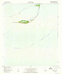
1950 · Breton Islands
USGS Topo · 1:24,000

1953 · Breton Island
USGS Topo · 1:62,500
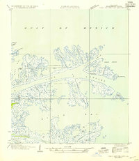
1954 · Pass A Loutre East
USGS Topo · 1:31,680
1954 · Pass A Loutre West
USGS Topo · 1:31,680
1954 · East Delta
USGS Topo · 1:62,500

1957 · Breton Sound
USGS Topo · 1:250,000