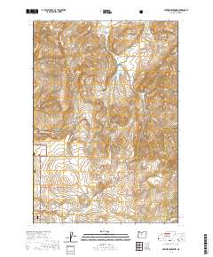
2020 Map of Brewer Reservoir
USGS Topo · Published 2020About this map
Crooked River National Grassland dominates the southwestern reaches of this Jefferson County survey, where the high desert terrain transitions into a complex system of seasonal drainages and canyons. The landscape is defined by the sharp descents of Red Shed Canyon and Dewies Canyon in the north, while the Baldwin Hills rise above the surrounding plateaus. This area serves as a critical watershed, evidenced by the managed water resources of Brewer Reservoir and the larger Willow Cr Reservoir to the south.
Find a feature on this map
23 named features on this map. Tap any name to fly to it.
Don’t see what you’re looking for? This feature index may not catch every label — zoom into the map to look around manually.
Map Details
Editions of this 2020 Brewer Reservoir Map
This is the sole edition of this map. No revisions or reprints were ever made.
Other maps of this area

1926 · Bend
USGS Topo · 1:125,000

1928 · Madras
USGS Topo · 1:125,000

1929 · Bend
USGS Topo · 1:125,000

1931 · Madras
USGS Topo · 1:125,000

1955 · Bend
USGS Topo · 1:250,000

1957 · Bend
USGS Topo · 1:250,000

1958 · Bend
USGS Topo · 1:250,000
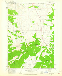
1962 · Gray Butte
USGS Topo · 1:24,000

1962 · Prineville
USGS Topo · 1:62,500
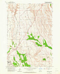
1963 · Madras East
USGS Topo · 1:24,000