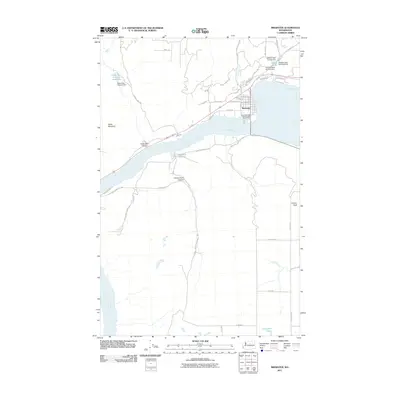
2011 Map of Brewster
USGS Topo · Published 2011About this map
The town of Brewster sits at a major bend in the Columbia River, serving as a hub for the surrounding orchard lands and plateau country. In this 2011 representation, the community structure is detailed along W Main Ave and W Indian Ave, while the riverfront includes the Columbia Cove Recreational Vehicle Park. The landscape is defined by its water management and agricultural infrastructure, evidenced by the series of reservoirs north of town, including Gebbers Dam Number One, Gebbers Dam Number Two, and McKie Pond.
Find a feature on this map
51 named features on this map. Tap any name to fly to it.
Don’t see what you’re looking for? This feature index may not catch every label — zoom into the map to look around manually.
Map Details
Editions of this 2011 Brewster Map
This is the sole edition of this map. No revisions or reprints were ever made.
Other maps of this area

1905 · Okanogan
USGS Topo · 1:125,000

1953 · Ritzville
USGS Topo · 1:250,000

1954 · Okanogan
USGS Topo · 1:250,000

1957 · Bridgeport
USGS Topo · 1:62,500

1957 · Brewster
USGS Topo · 1:62,500

1958 · Okanogan
USGS Topo · 1:250,000

1959 · Ritzville
USGS Topo · 1:250,000

1965 · Ritzville
USGS Topo · 1:250,000

1968 · Chief Joseph Dam
USGS Topo · 1:24,000

1968 · Wells Dam
USGS Topo · 1:24,000