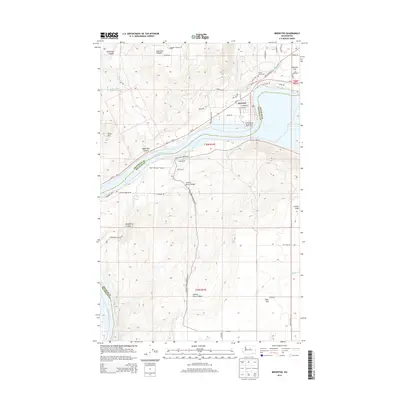
2014 Map of Brewster
USGS Topo · Published 2014About this map
The town of Brewster occupies a strategic bend where the Columbia River meets the Okanogan and Douglas county lines, serving as a hub for the surrounding plateau and river canyon. This 2014 survey details the local infrastructure of the era, from the residential streets of Harmony Heights to the specialized facilities at Columbia Cove Recreational Vehicle Park. The landscape is defined by its dramatic verticality, with heights like Tenas Mtn and Timber Peak overlooking the deep cuts of Central Ferry Canyon and Dougherty Canyon.
Find a feature on this map
57 named features on this map. Tap any name to fly to it.
Don’t see what you’re looking for? This feature index may not catch every label — zoom into the map to look around manually.
Map Details
Editions of this 2014 Brewster Map
This is the sole edition of this map. No revisions or reprints were ever made.
Other maps of this area

1905 · Okanogan
USGS Topo · 1:125,000

1953 · Ritzville
USGS Topo · 1:250,000

1954 · Okanogan
USGS Topo · 1:250,000

1957 · Bridgeport
USGS Topo · 1:62,500

1957 · Brewster
USGS Topo · 1:62,500

1958 · Okanogan
USGS Topo · 1:250,000

1959 · Ritzville
USGS Topo · 1:250,000

1965 · Ritzville
USGS Topo · 1:250,000

1968 · Chief Joseph Dam
USGS Topo · 1:24,000

1968 · Wells Dam
USGS Topo · 1:24,000