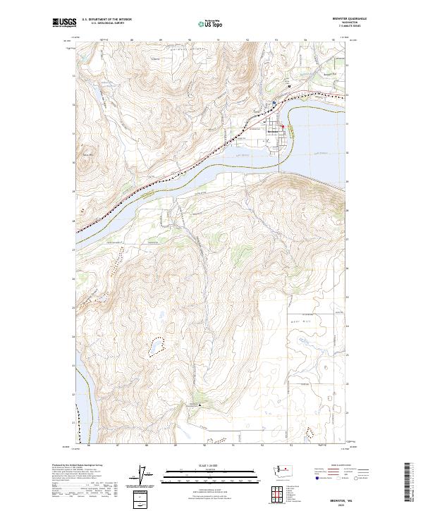
2023 Map of Brewster
USGS Topo · Published 2023About this map
Brewster serves as the focal point for this landscape where the Columbia River’s waters are held back as Lake Pateros. The settlement pattern follows the high benches and carved drainage systems, with the residential pockets of Harmony Heights and the agricultural expanse of Brewster Flat defining the northern terrain. This survey illustrates the intricate road network supporting the region’s orchards, including routes like Crane Orchard Rd and Grain Elevator Rd that speak to the local fruit and grain economy.
Find a feature on this map
59 named features on this map. Tap any name to fly to it.
Don’t see what you’re looking for? This feature index may not catch every label — zoom into the map to look around manually.
Map Details
Editions of this 2023 Brewster Map
This is the sole edition of this map. No revisions or reprints were ever made.
Other maps of this area

1905 · Okanogan
USGS Topo · 1:125,000

1953 · Ritzville
USGS Topo · 1:250,000

1954 · Okanogan
USGS Topo · 1:250,000

1957 · Bridgeport
USGS Topo · 1:62,500

1957 · Brewster
USGS Topo · 1:62,500

1958 · Okanogan
USGS Topo · 1:250,000

1959 · Ritzville
USGS Topo · 1:250,000

1965 · Ritzville
USGS Topo · 1:250,000

1968 · Chief Joseph Dam
USGS Topo · 1:24,000

1968 · Wells Dam
USGS Topo · 1:24,000