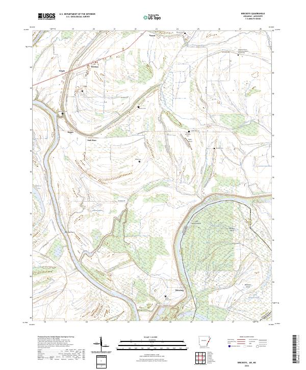
2024 Map of Brickeys
USGS Topo · Published 2024About this map
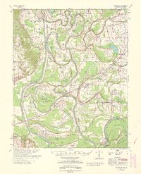
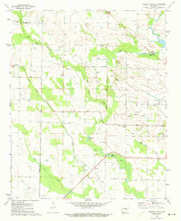
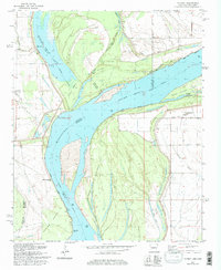
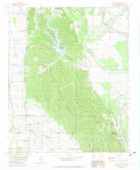
The Saint Francis River winds through this delta landscape where the Arkansas-Mississippi border follows the water’s ancient path, revealing a complex network of bayous and islands. Along the river's edge, the Red Oak Ferry serves as a reminder of the vital water crossings that once connected these rural communities. The map is notably dense with small family and community burial sites, including Ward Farm Cem, Johnson Cem, and Shady Grove Cem, which anchor the history of settlements like Brickeys and Whitehall to the land.
Find a feature on this map
57 named features on this map. Tap any name to fly to it.
Don’t see what you’re looking for? This feature index may not catch every label — zoom into the map to look around manually.
Map Details
Editions of this 2024 Brickeys Map
This is the sole edition of this map. No revisions or reprints were ever made.
Historical Maps of Tongin Through Time
16 maps found
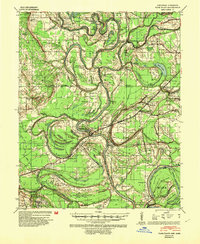
1939 Park Place
Lee County, AR
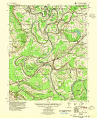
1955 Park Place
Lee County, AR
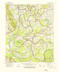
1962 Park Place
Lee County, AR
1963 Park Place
Lee County, AR
1971 Garrett Grove
Lee County, AR
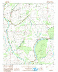
1981 Council
Lee County, AR
1982 La Grange
Lee County, AR
1984 Brickeys
Lee County, AR

1984 Helena
Lee County, AR
1984 Soudan
Lee County, AR

1990 Helena
Lee County, AR
2024 Brickeys
Lee County, AR
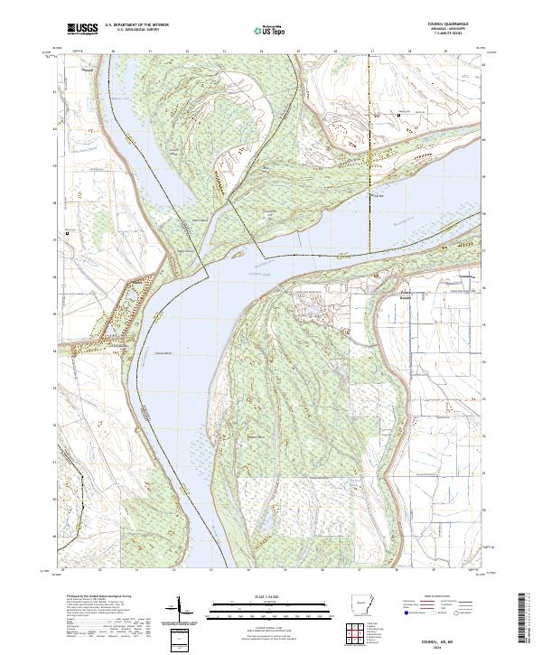
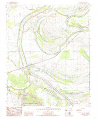
2024 Council
Lee County, AR
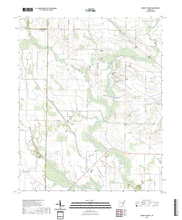
2024 Garrett Grove
Lee County, AR
2024 La Grange
Lee County, AR
2024 Soudan
Lee County, AR