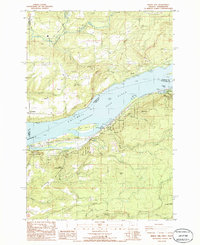
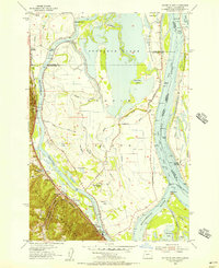
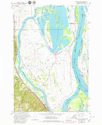
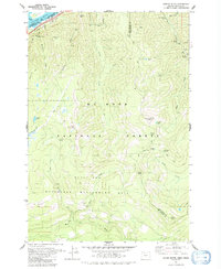
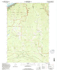
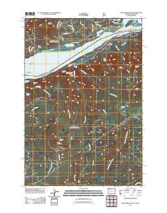
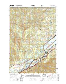
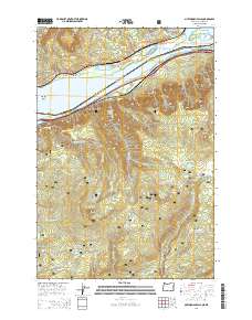
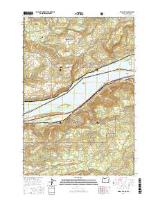
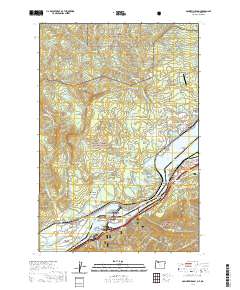
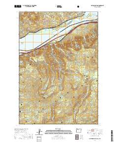
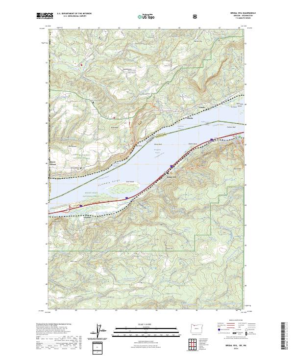
1986 Map of Bridal Veil
USGS Topo · Published 1986About this map
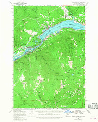
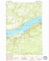
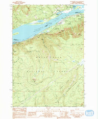
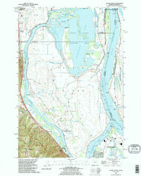
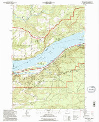
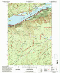
Columbia River geography dominates this mid-1980s survey, where the Broughton Reach serves as the dividing line between Washington and Oregon. The Oregon side is characterized by a dense concentration of protected lands along the basalt cliffs, including Rooster Rock State Park and Guy W Talbot State Park. These parks preserve a dramatic landscape of waterfalls such as Latourell Falls and Wahkeena Falls, alongside geological landmarks like the Pillars of Hercules and Crown Point. On the Washington shore, the terrain rises toward Prindle Mountain, following the course of the Washougal River. The transportation corridor is well-defined by the Burlington Northern and Union Pacific railroads flanking the water, supporting small riverfront communities like Prindle, Cruzatt, and the eponymous Bridal Veil.
Find a feature on this map
64 named features on this map. Tap any name to fly to it.
Don’t see what you’re looking for? This feature index may not catch every label — zoom into the map to look around manually.
Map Details
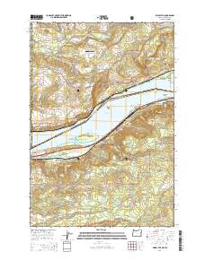
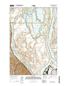
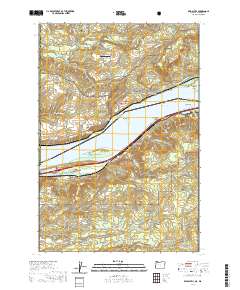
Editions of this 1986 Bridal Veil Map
2 editions found
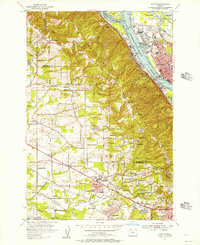
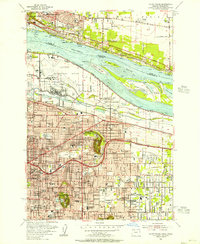
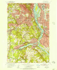
Historical Maps of Prindle Through Time
56 maps found
1954 Linnton
Multnomah County, OR
1954 Mount Tabor
Multnomah County, OR
1954 Oswego
Multnomah County, OR
1954 Sauvie Island
Multnomah County, OR
1957 Bonneville Dam
Multnomah County, OR
1961 Linnton
Multnomah County, OR
1961 Mount Tabor
Multnomah County, OR
1961 Sauvie Island
Multnomah County, OR
1975 Linnton
Multnomah County, OR
1975 Mount Tabor
Multnomah County, OR
1976 Mount Tabor
Multnomah County, OR
1979 Tanner Butte
Multnomah County, OR
1986 Bridal Veil
Multnomah County, OR
1986 Multnomah Falls
Multnomah County, OR
1990 Linnton
Multnomah County, OR
1990 Mount Tabor
Multnomah County, OR
1990 Sauvie Island
Multnomah County, OR
1994 Bridal Veil
Multnomah County, OR
1994 Multnomah Falls
Multnomah County, OR
1994 Tanner Butte
Multnomah County, OR
2011 Bonneville Dam
Multnomah County, OR
2011 Bridal Veil
Multnomah County, OR
2011 Linnton
Multnomah County, OR
2011 Mount Tabor
Multnomah County, OR
2011 Multnomah Falls
Multnomah County, OR
2011 Sauvie Island
Multnomah County, OR
2011 Tanner Butte
Multnomah County, OR
2014 Bonneville Dam
Multnomah County, OR
2014 Bridal Veil
Multnomah County, OR
2014 Linnton
Multnomah County, OR
2014 Mount Tabor
Multnomah County, OR
2014 Multnomah Falls
Multnomah County, OR
2014 Sauvie Island
Multnomah County, OR
2014 Tanner Butte
Multnomah County, OR
2017 Bonneville Dam
Multnomah County, OR
2017 Bridal Veil
Multnomah County, OR
2017 Linnton
Multnomah County, OR
2017 Mount Tabor
Multnomah County, OR
2017 Multnomah Falls
Multnomah County, OR

2017 Sauvie Island
Multnomah County, OR

2017 Tanner Butte
Multnomah County, OR
2020 Bonneville Dam
Multnomah County, OR
2020 Bridal Veil
Multnomah County, OR
2020 Linnton
Multnomah County, OR
2020 Mount Tabor
Multnomah County, OR
2020 Multnomah Falls
Multnomah County, OR
2020 Sauvie Island
Multnomah County, OR
2020 Tanner Butte
Multnomah County, OR
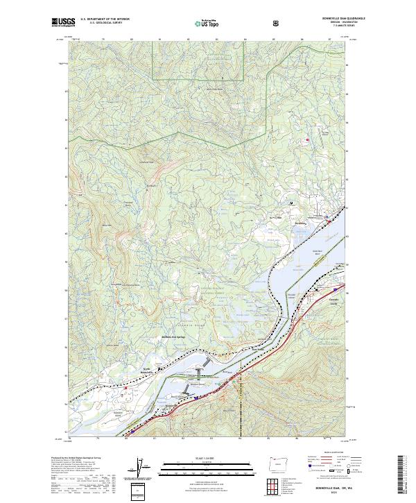
2023 Bonneville Dam
Multnomah County, OR
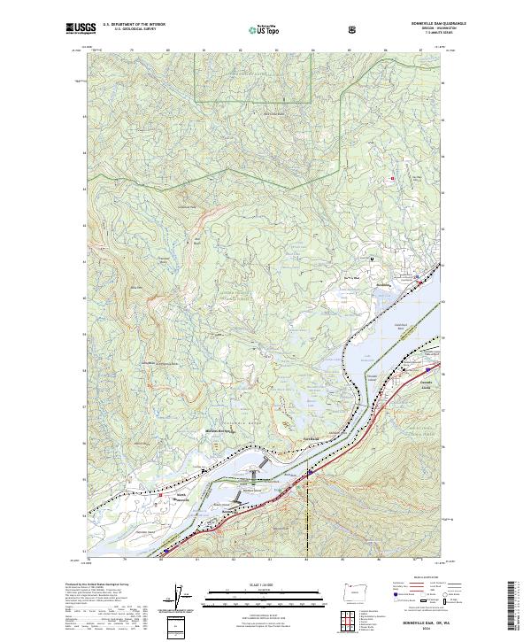
2024 Bonneville Dam
Multnomah County, OR
2024 Bridal Veil
Multnomah County, OR
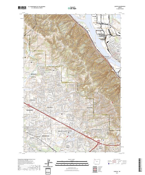
2024 Linnton
Multnomah County, OR
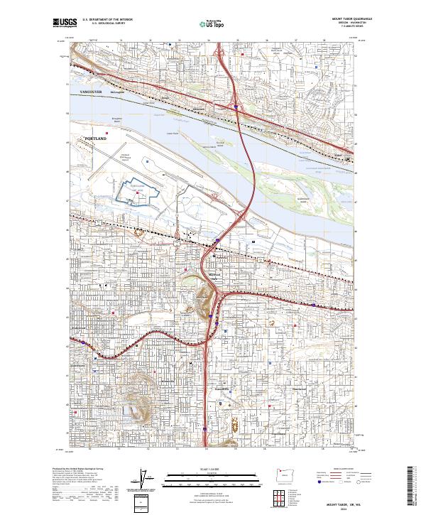
2024 Mount Tabor
Multnomah County, OR
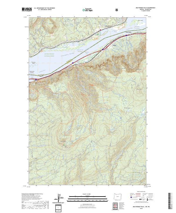
2024 Multnomah Falls
Multnomah County, OR
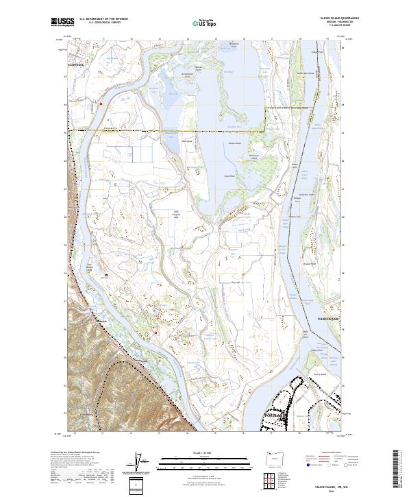
2024 Sauvie Island
Multnomah County, OR
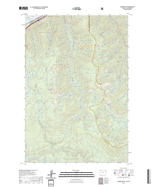
2024 Tanner Butte
Multnomah County, OR