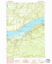
1986 Map of Bridal Veil
USGS Topo · Published 1994About this map
The Columbia River serves as the focal point of this mid-1980s survey, illustrating the transportation and conservation corridor at the heart of the Columbia River Gorge National Scenic Area. The map reveals a landscape defined by sharp elevation changes and numerous waterfalls, including Bridal Veil Falls, Latourell Falls, and Mist Falls. The infrastructure of the era is clearly marked, with the Union Pacific and Burlington Northern railroads flanking the water. On the Oregon side, the Historic Columbia River Highway winds past significant landmarks like the Vista House at Crown Point State Park. Small clusters of development at Latourell and Roos contrast with the protected expanses of Guy W. Talbot State Park and Benson State Park, showing the balance between early 20th-century settlement and modern preservation efforts.
Find a feature on this map
69 named features on this map. Tap any name to fly to it.
Don’t see what you’re looking for? This feature index may not catch every label — zoom into the map to look around manually.
Map Details
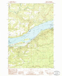
Editions of this 1986 Bridal Veil Map
2 editions found
Other maps of this area

1911 · Boring
USGS Topo · 1:48,000

1914 · Boring
USGS Topo · 1:62,500

1916 · Estacada
USGS Topo · 1:125,000

1918 · Troutdale
USGS Topo · 1:62,500

1934 · Troutdale
USGS Topo · 1:48,000

1940 · Boring
USGS Topo · 1:62,500

1941 · Camas
USGS Topo · 1:62,500

1942 · Camas
USGS Topo · 1:62,500

1948 · Vancouver
USGS Topo · 1:250,000

1950 · Vancouver
USGS Topo · 1:250,000