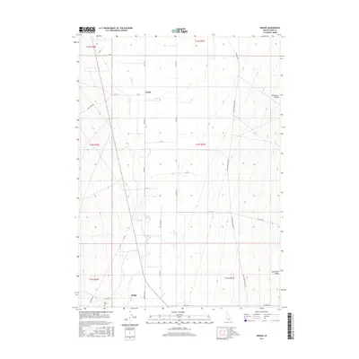
2017 Map of Bridge
USGS Topo · Published 2017About this map
Raft River meanders through the expansive Raft River Valley in this corner of Cassia County, Idaho. The settlement of Bridge and the smaller locality of Keogh represent the primary points of human congregation in an otherwise sparsely populated agricultural and ranching landscape. The terrain is defined by low-lying drainages including Clear Cr and Cottonwood Cr, which feed the river system from the surrounding highlands.
Find a feature on this map
34 named features on this map. Tap any name to fly to it.
Don’t see what you’re looking for? This feature index may not catch every label — zoom into the map to look around manually.
Map Details
Editions of this 2017 Bridge Map
This is the sole edition of this map. No revisions or reprints were ever made.
Other maps of this area

1954 · Pocatello
USGS Topo · 1:250,000

1958 · Pocatello
USGS Topo · 1:250,000

1958 · Sublett
USGS Topo · 1:62,500

1959 · Strevell
USGS Topo · 1:62,500

1968 · Malta
USGS Topo · 1:24,000

1968 · Kane Canyon
USGS Topo · 1:24,000

1968 · Nibbs Creek
USGS Topo · 1:24,000

1968 · Naf
USGS Topo · 1:24,000

1968 · Chokecherry Canyon
USGS Topo · 1:24,000

1968 · Bridge
USGS Topo · 1:24,000