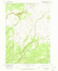
1968 Map of Bridge Creek Draw
USGS Topo · Published 1972About this map
The Old Indian Treaty Boundary slices diagonally across this high-desert landscape, serving as a significant historical marker within the Fremont National Forest. This 1968 survey documents a region defined by its reliance on isolated water sources and ranching outposts. Numerous family-named operations including the Howard Ranch, Freeman Ranch, and McBroom Ranch are situated along the drainage of Timothy Creek and Bridge Creek.
Find a feature on this map
41 named features on this map. Tap any name to fly to it.
Don’t see what you’re looking for? This feature index may not catch every label — zoom into the map to look around manually.
Map Details
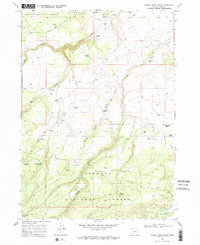
Editions of this 1968 Bridge Creek Draw Map
2 editions found
Other maps of this area

1889 · Klamath
USGS Topo · 1:250,000

1894 · Klamath
USGS Topo · 1:250,000

1955 · Crescent
USGS Topo · 1:250,000

1955 · Klamath Falls
USGS Topo · 1:250,000

1957 · Crescent
USGS Topo · 1:250,000

1958 · Crescent
USGS Topo · 1:250,000

1958 · Klamath Falls
USGS Topo · 1:250,000

1960 · Sycan Marsh
USGS Topo · 1:62,500

1960 · Yamsay Mountain
USGS Topo · 1:62,500

1968 · Silver Lake
USGS Topo · 1:24,000