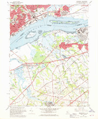
1967 Map of Bridgeport
USGS Topo · Published 1969About this map
The industrial and maritime activity of the Delaware River defines this late 1960s landscape, where the heavy urban density of Chester and Eddystone in Pennsylvania faces the tidal flats and marshes of Gloucester County, New Jersey. The riverfront is a hub of mid-century infrastructure, featuring a Seaplane Base near Essington, a large Powerplant on the northern bank, and the sprawling Filtration Plant south of Upland.
Find a feature on this map
97 named features on this map. Tap any name to fly to it.
Don’t see what you’re looking for? This feature index may not catch every label — zoom into the map to look around manually.
Map Details
Editions of this 1967 Bridgeport Map
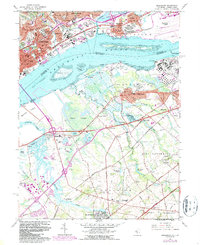
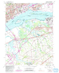
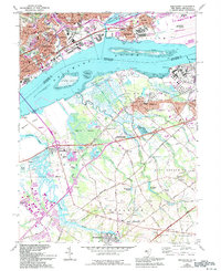
4 editions found
Other maps of this area

1890 · Salem
USGS Topo · 1:62,500

1890 · Glassboro
USGS Topo · 1:62,500

1891 · Philadelphia
USGS Topo · 1:62,500

1894 · Chester
USGS Topo · 1:62,500

1894 · Philadelphia
USGS Topo · 1:62,500

1896 · Philadelphia
USGS Topo · 1:62,500

1896 · Chester
USGS Topo · 1:62,500

1898 · Salem
USGS Topo · 1:62,500
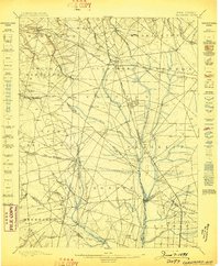
1898 · Glassboro
USGS Topo · 1:62,500

1898 · Chester
USGS Topo · 1:62,500